Pen-y-ghent(694m)
Tuesday 29th September 2026
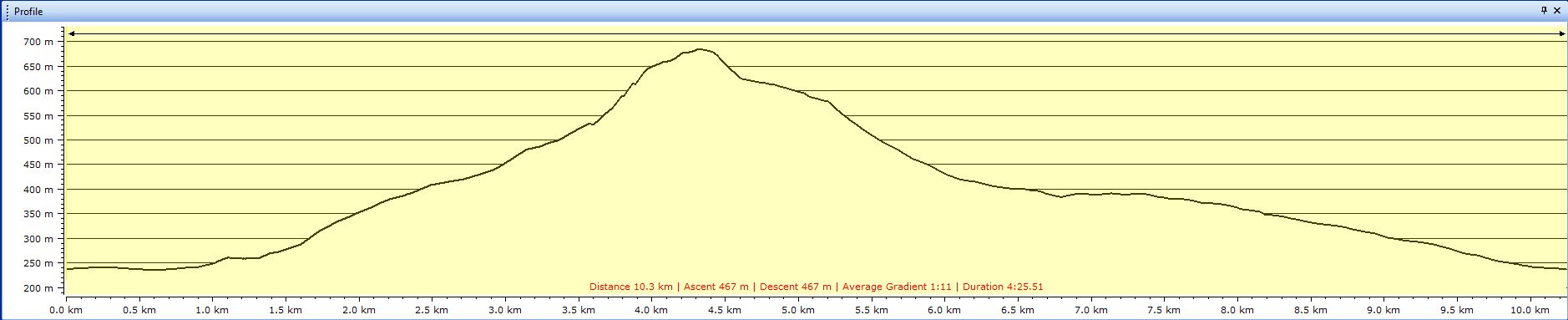
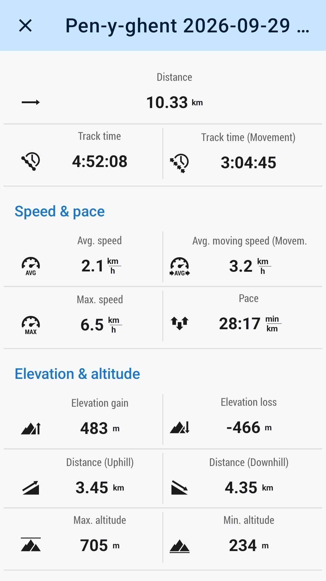
10kms
5hrs
A change of scenery for the next few walks, our annual group away week, and this year we are in Hardraw in the Yorkshire Dales National Park and based out of Hardraw and Hawes depending on where the accommodation was best suited for our needs. I have walked this area in the “distant” past, and I am therefore looking forward to re-acquainting myself with a couple of my favourite hills in the area, namely Whernside, and, if possible Pen-y-ghent depending on the weather, which hopefully will be an improvement on last year at Newton Stewart where it was almost a washout. Monday evening was decision time for our first walk on Tuesday and Pen-y-ghent was the option for myself along with Ian and Mike.
Come Tuesday morning as we gathered in the car park in Horton in Ribblesdale there were two options on offer for the undecided; a longer circular route lead by Jack, or to join Ian Mike and myself on the standard shorter route and a more direct approach to the summit. Choices made, each group departed the car park and set off in opposite directions.
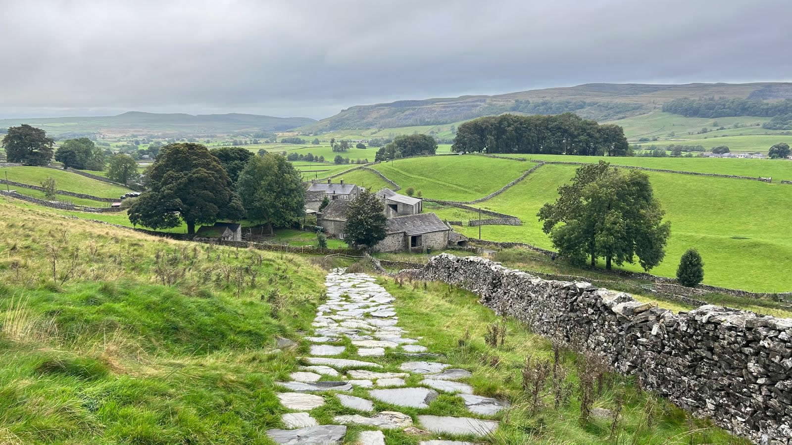
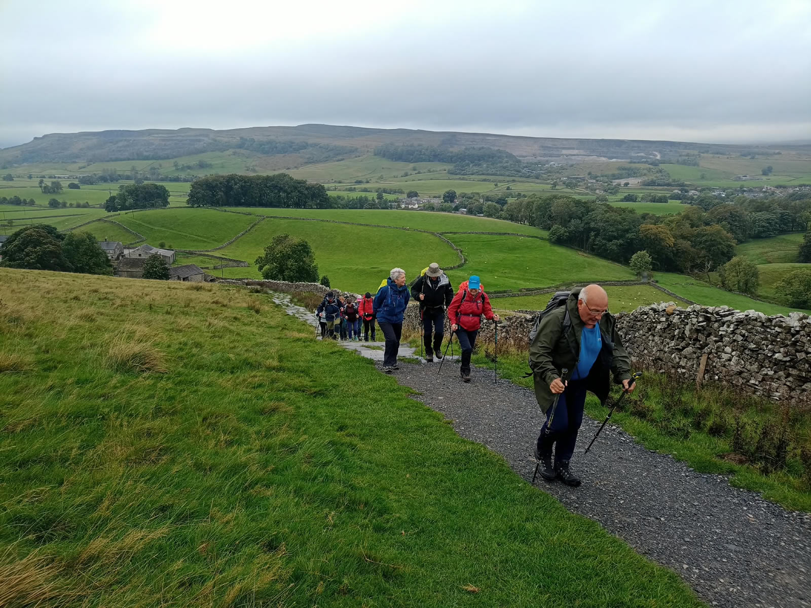
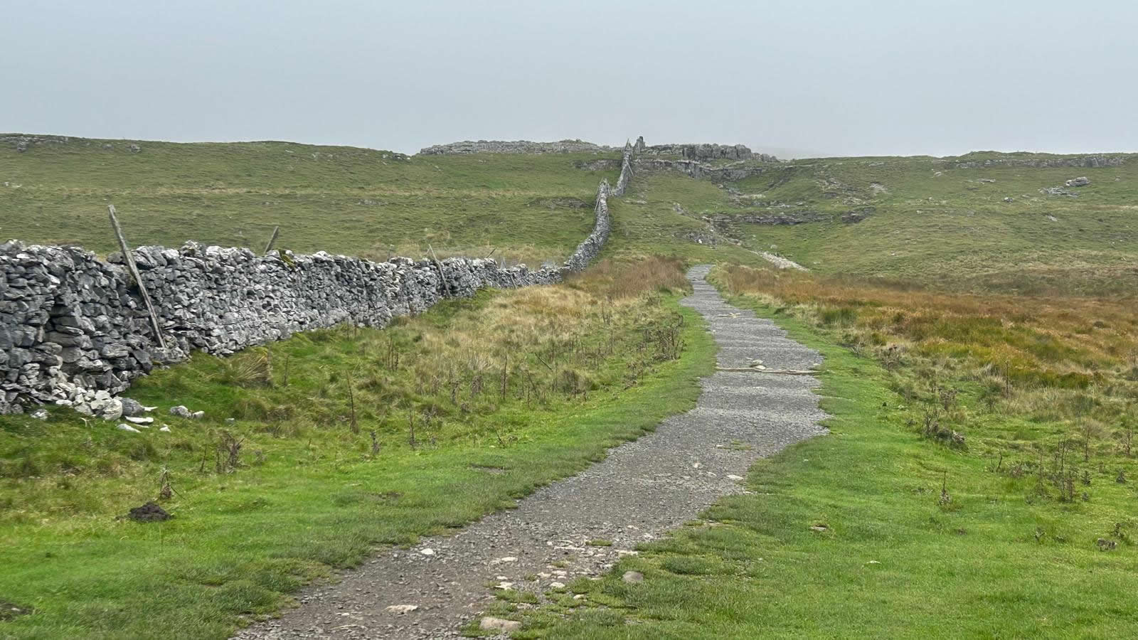
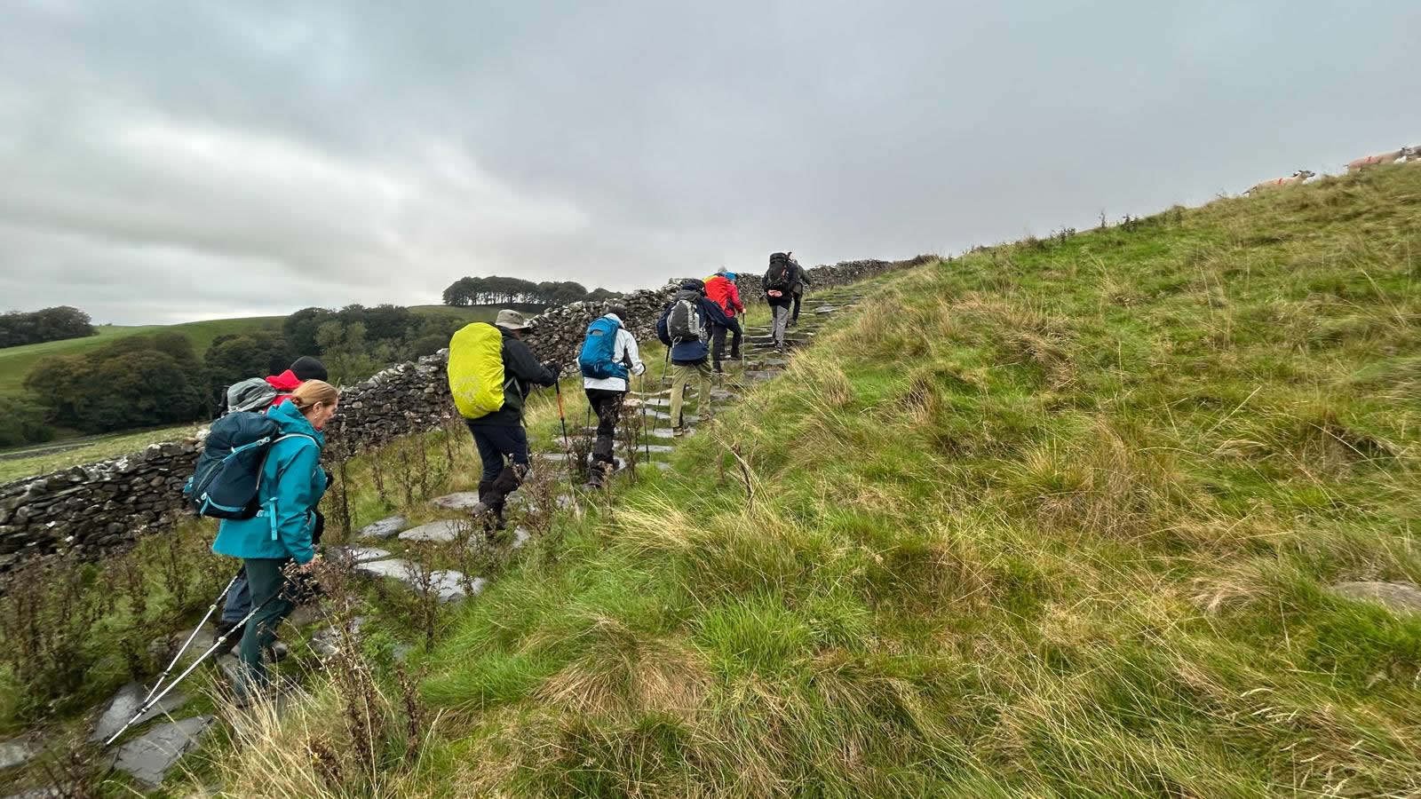
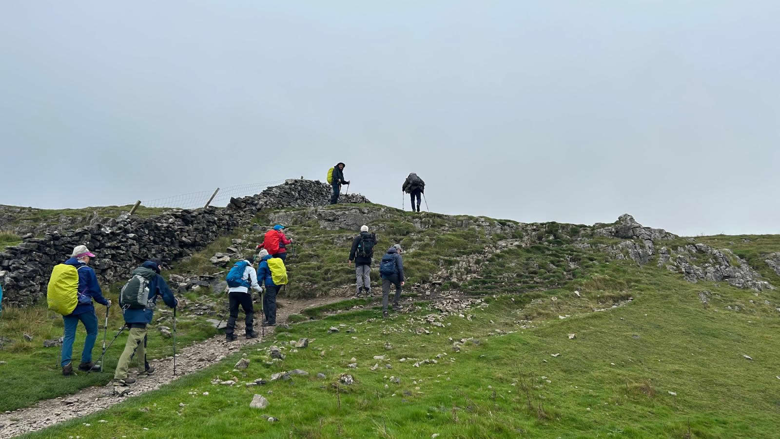
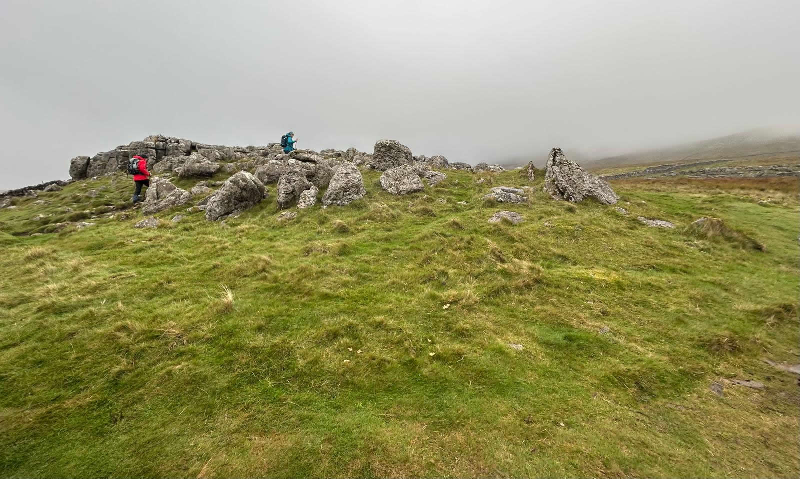
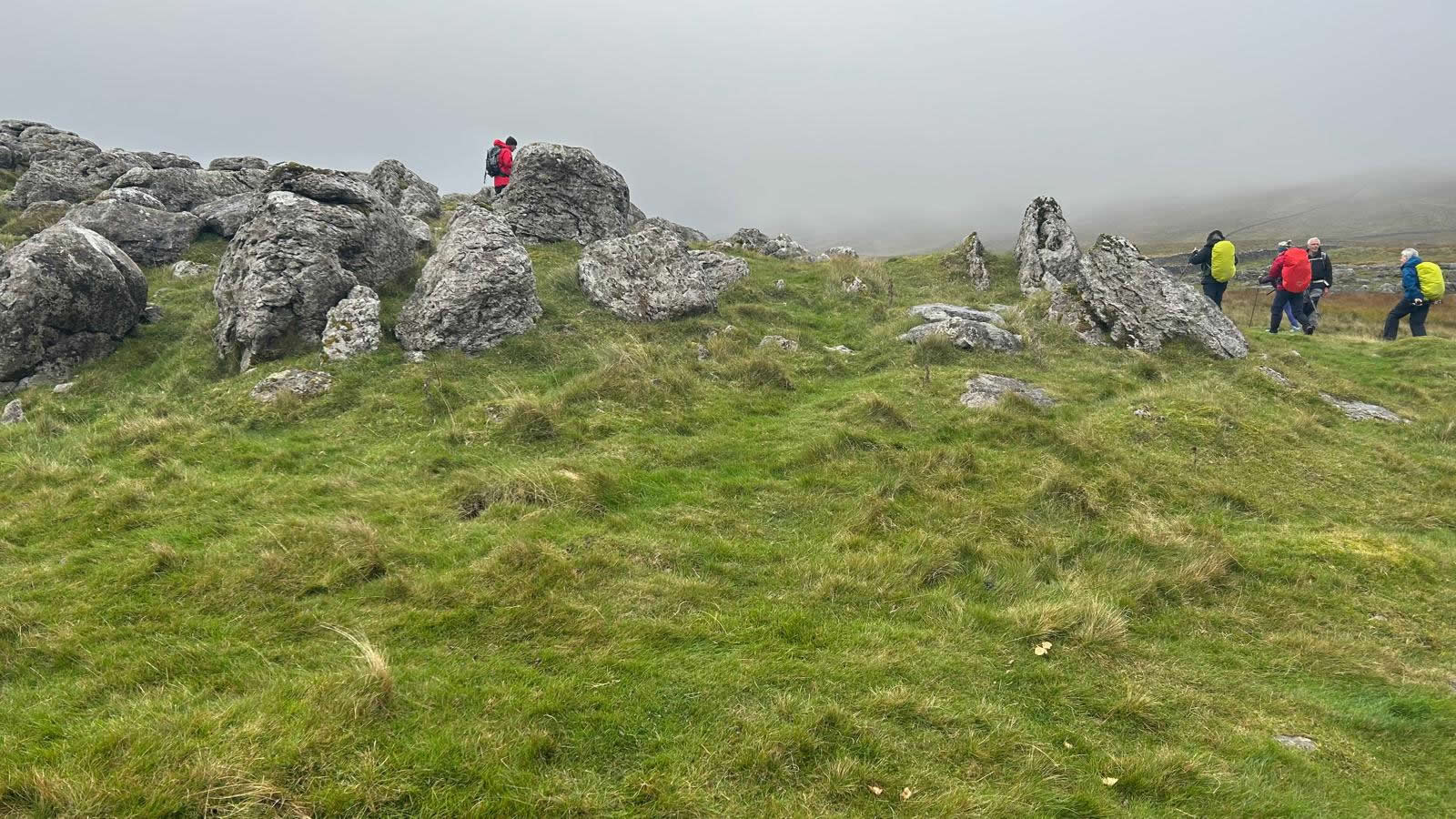
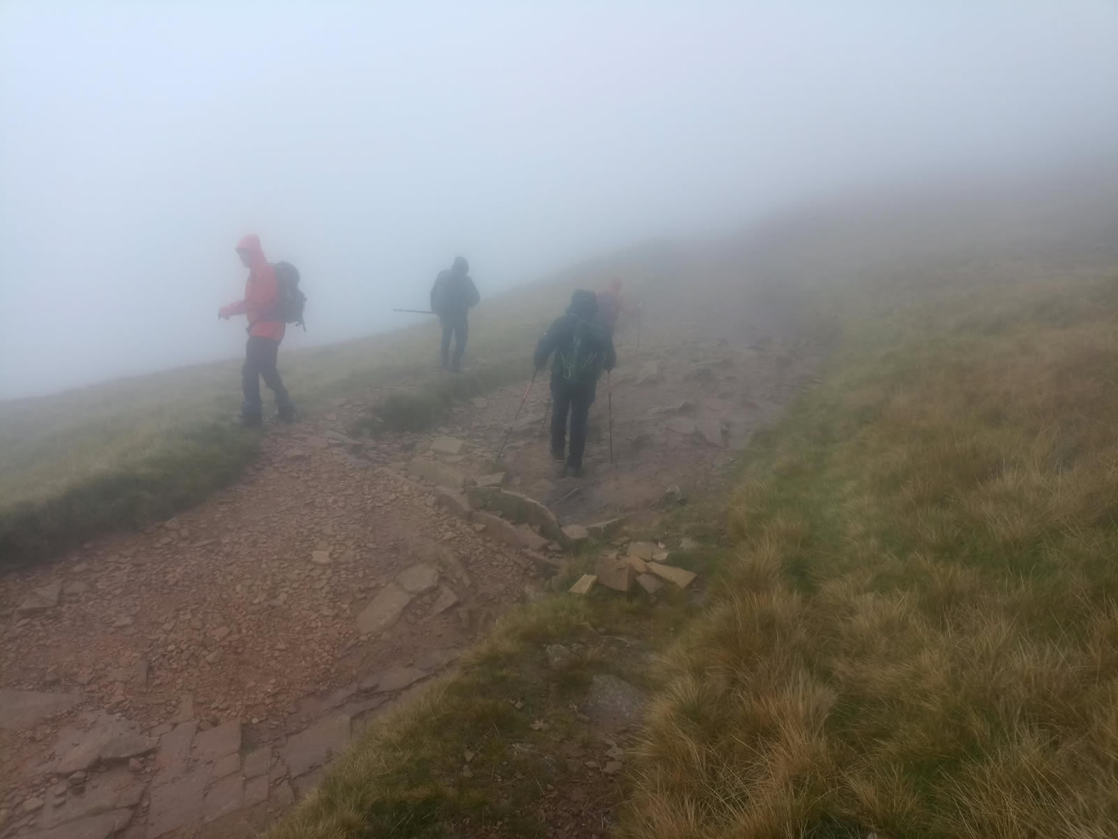
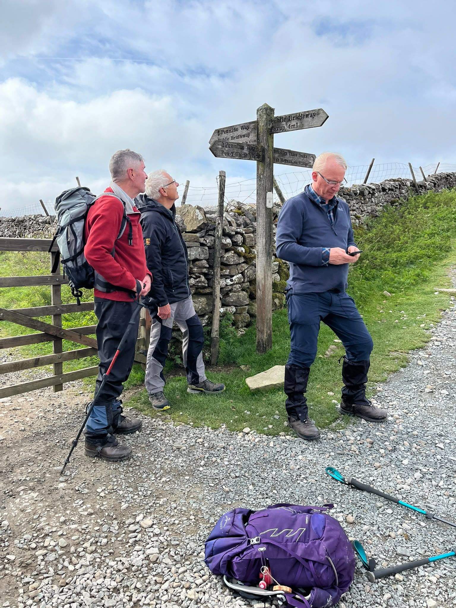
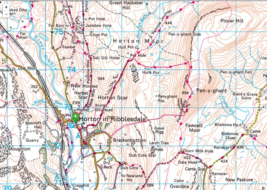
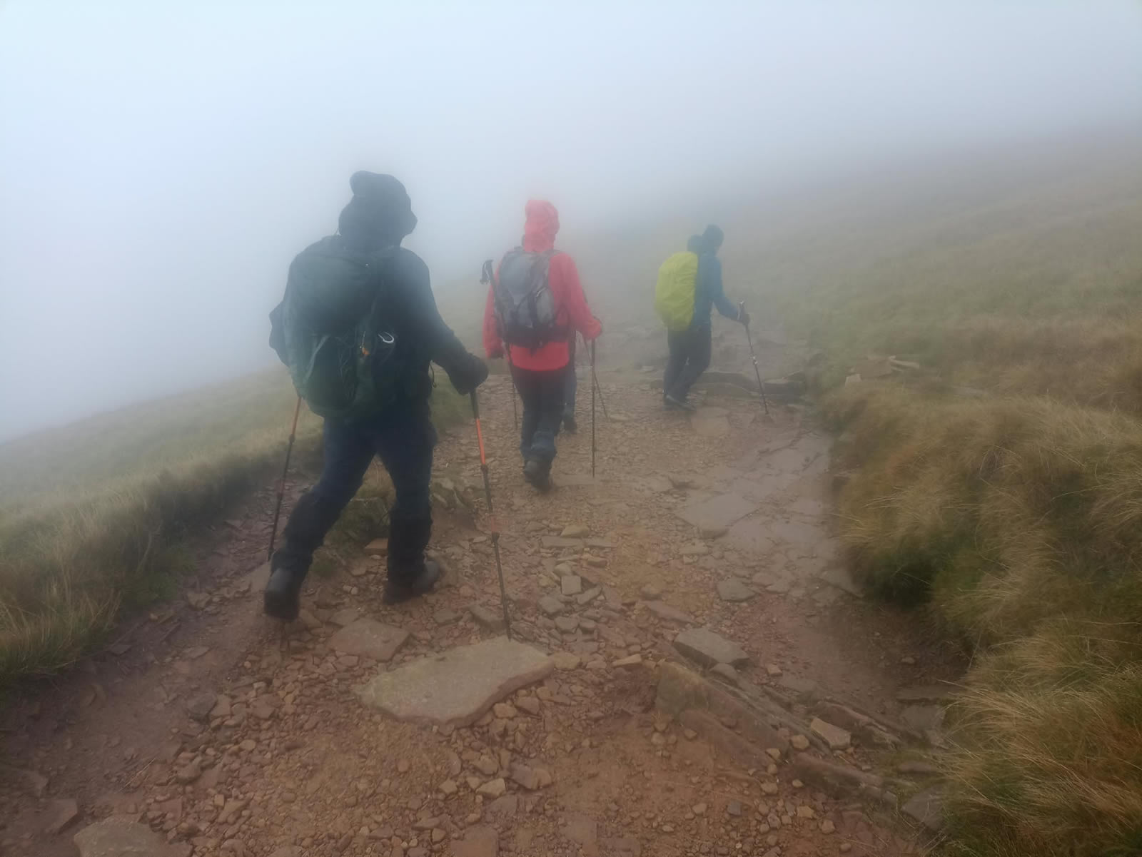
Taking the direct anti-clockwise route our group headed south through the village and onto the minor track leading to the small hamlet of Brackenbottom at which point the main path to Pen-y-ghent begins with the Finger Post signs pointing directly uphill and into the mist and low cloud that was hanging over the hillside. There is no difficulty with navigation as a fine path of flagstones and graded grit follows the line of an equally fine dry stone wall the entire length of the climb uphill along Brackenbottom Scar until it meets up with the Pennine Way just above the 500m height on the south ridge of Pen-y-ghent. By this point the broken sunshine of the dale below was a distant memory and for some time now we had been having a small battle against an ever increasing wind strength and rapidly decreasing visibility as we entered the low cloud and mist that was covering the entire hillside. Such was the wind force that a few of our group decided to make their return and not continue onto the ridge and final ascent to the summit. A sensible decision if in any doubt about the conditions.
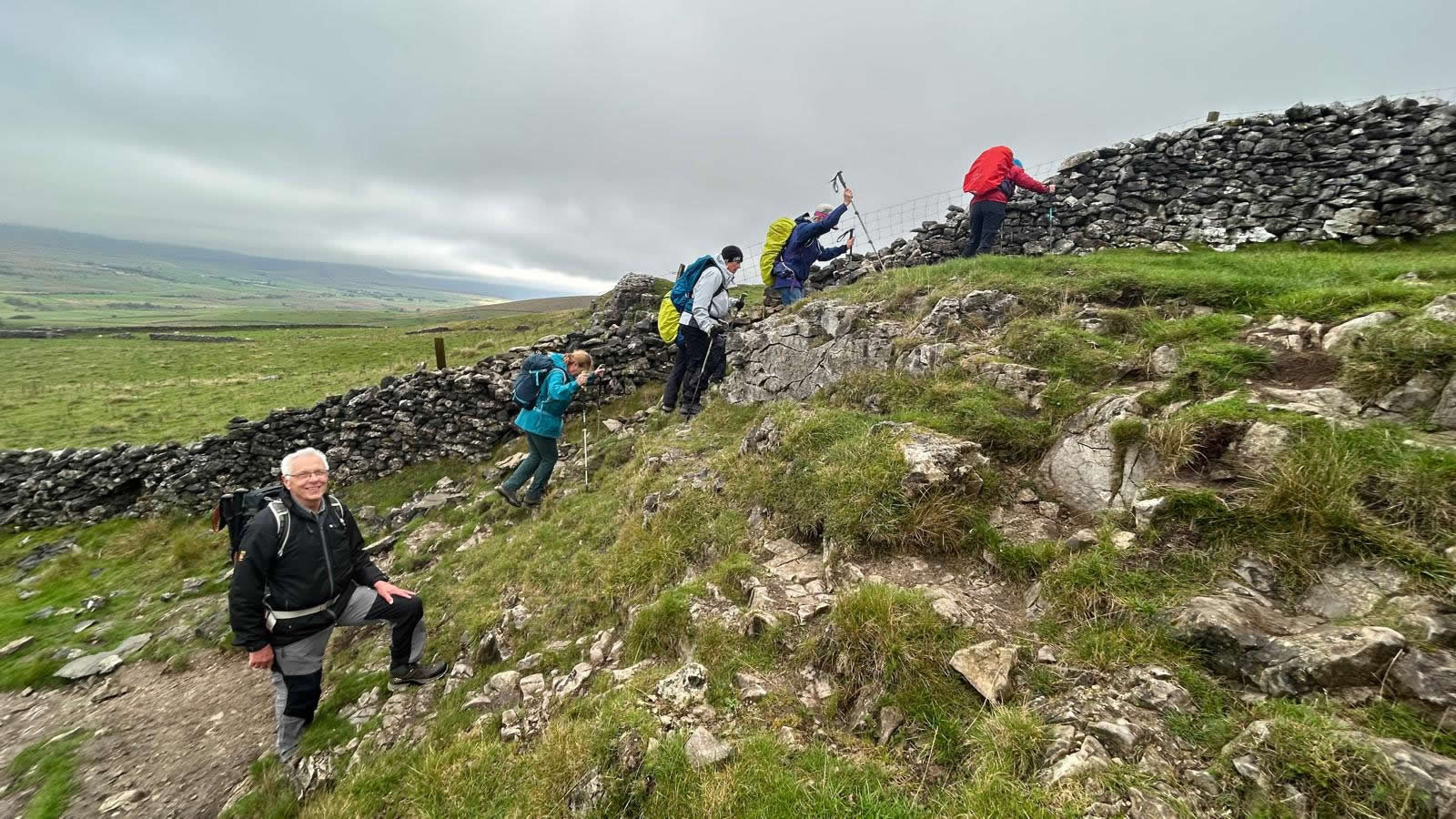
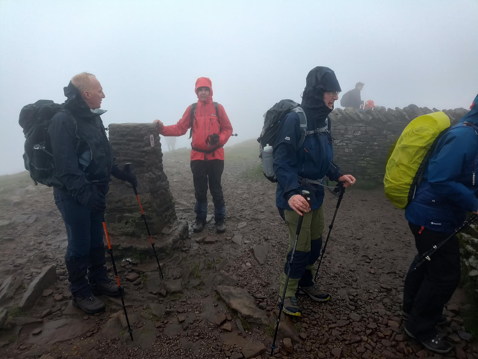
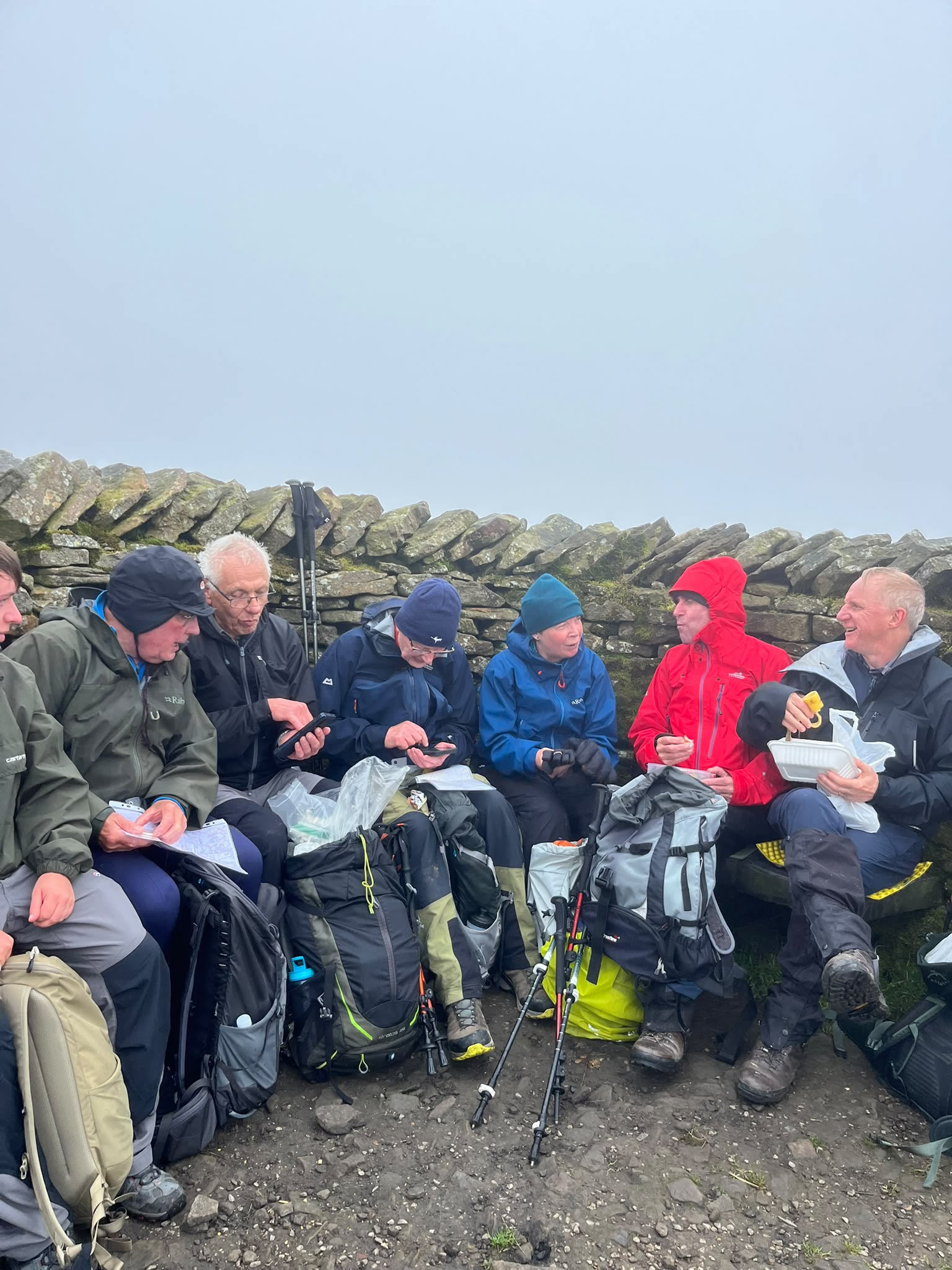
Those of us deciding to continue joined the ridge path and headed north towards the final sections which involved a short hand-on scramble up a slab of rock which did require a little concentration given the wind and wet surface on the rock. However, once above the rocky section a fine flagstone path lies ahead and leads you directly to the Trig Point and shelter on the 694m high summit. Our arrival at the summit was greeted by those who had taken a slightly longer clockwise route from the car park, but had obviously covered the ground at a much faster pace then we had. Taking our places on the stone seats within the shelter we settled down for a break, the shelter doing a grand job of protecting us from the wind which by now was a steady strong blow.
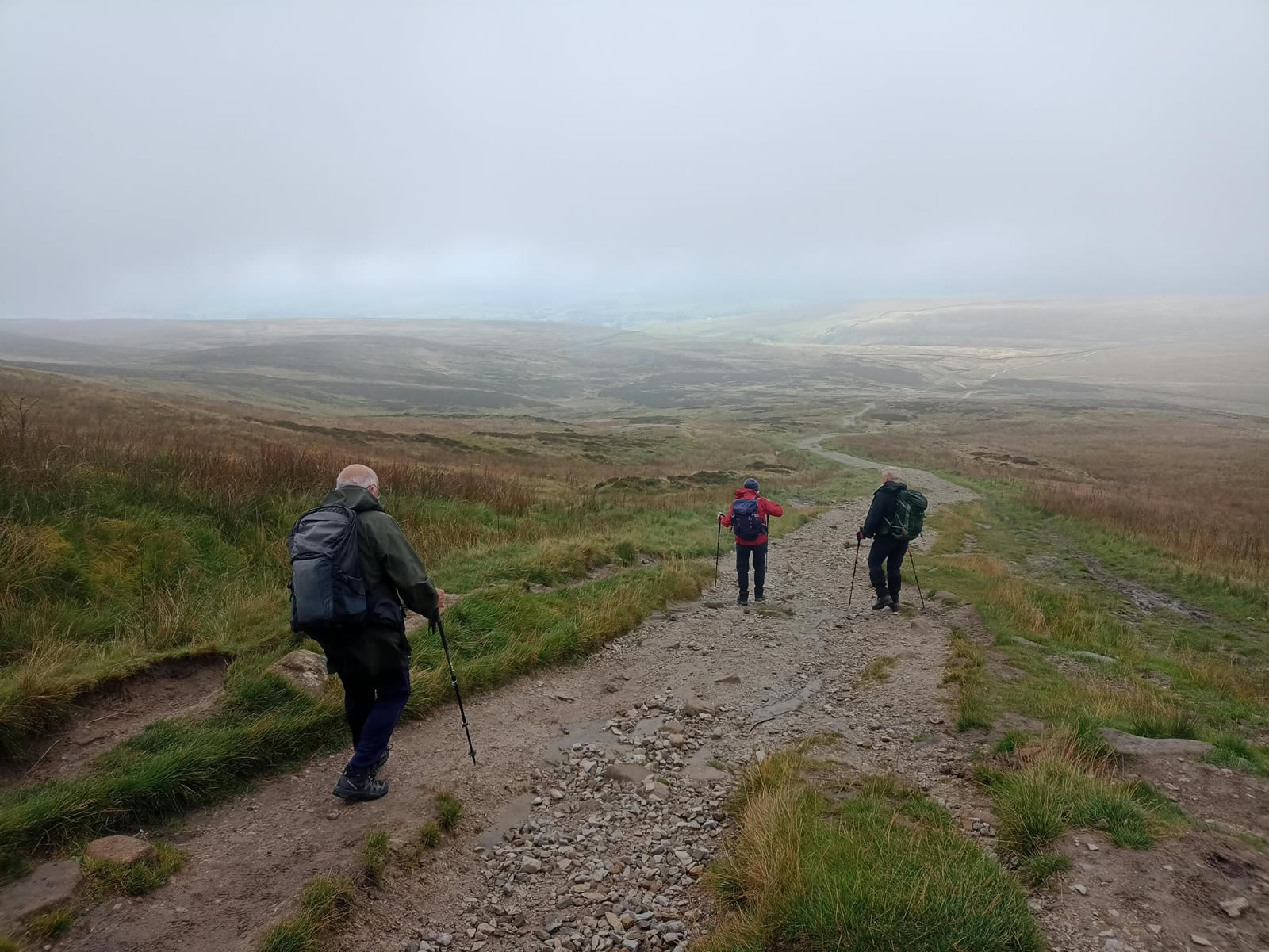
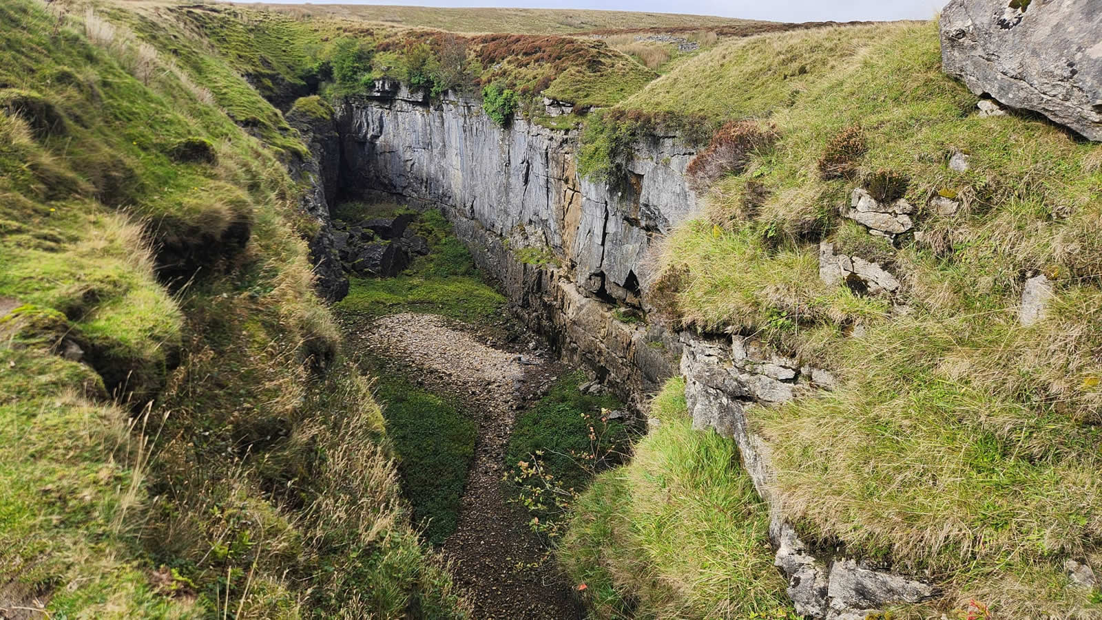
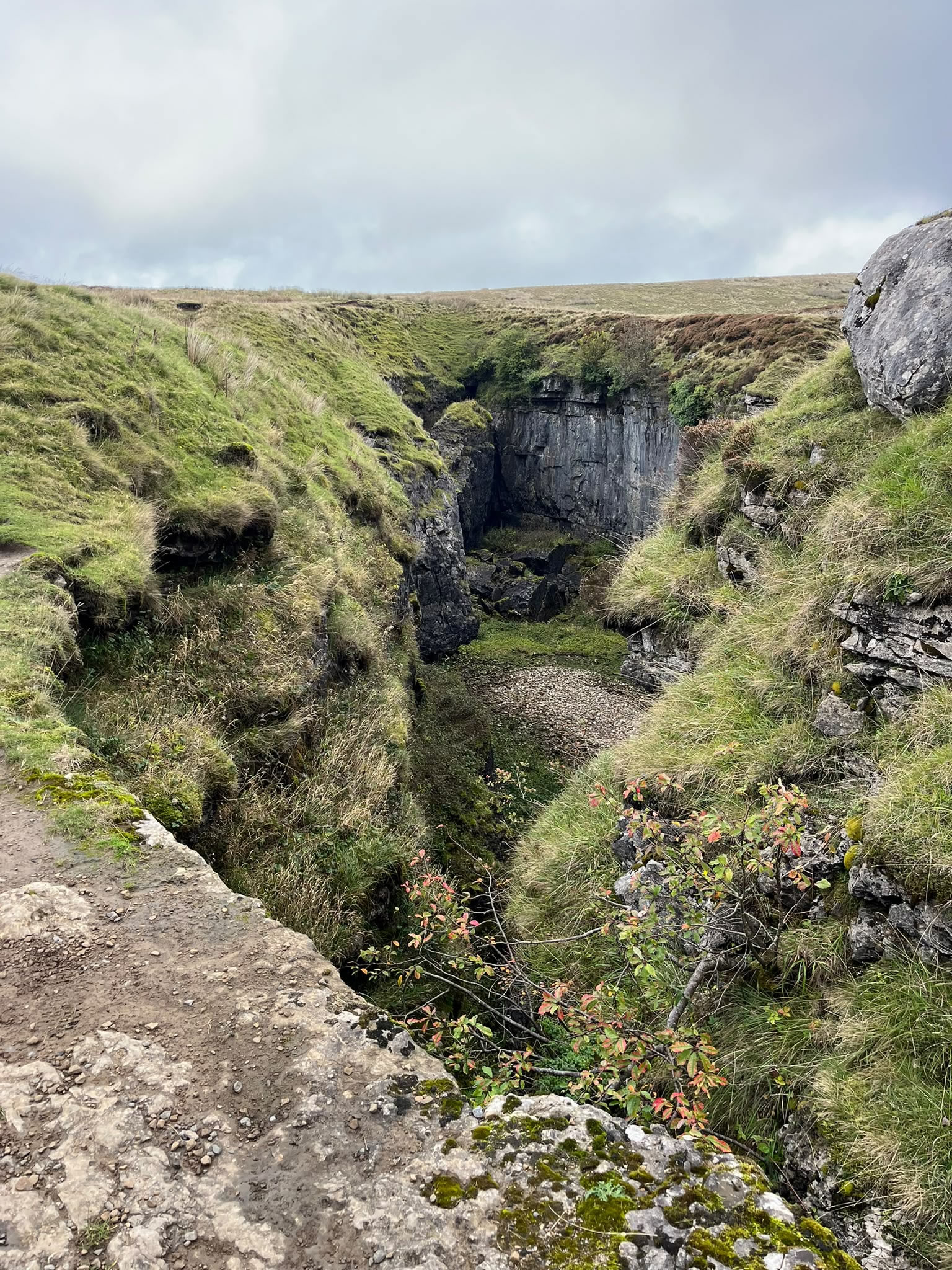
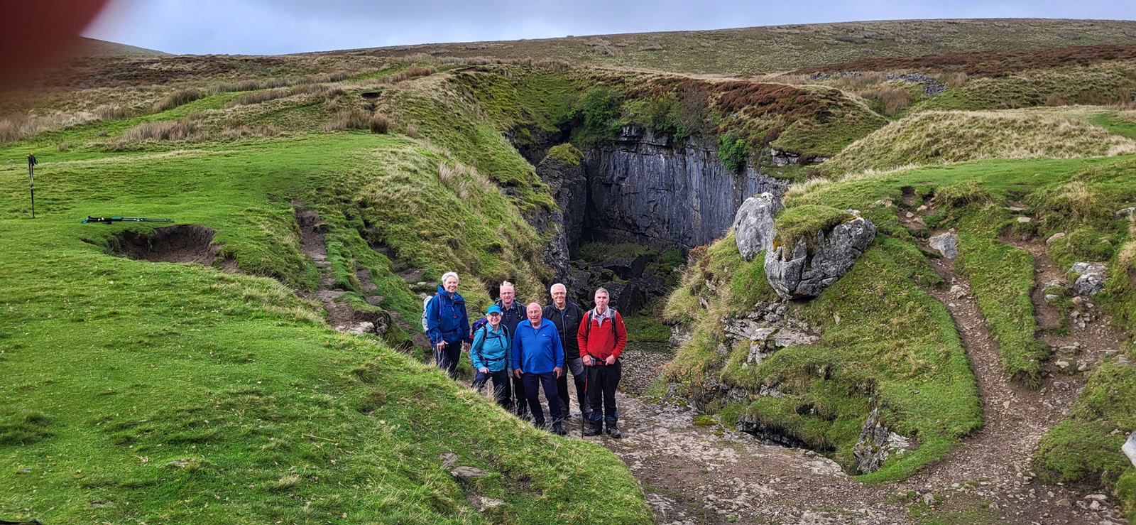
Taking a safety bearing just to ensure we left the summit in the correct direction we crossed the open summit area for a very short distance before meeting the top of a very well constructed stepped pathway for the initial 200m of descent from the summit before turning west again following a section of the Pennine Way as we descended below the mist and cloud, and thankfully a significant decrease in wind speed as we headed towards the junction of paths at Tarn Bar. Here we made a detour of a few hundred metres generally north to visit Hull Pot, at 91m long, 18m wide and 18m deep this is Englands largest natural hole, caused by the collapse of a cavern roof; and quite an impressive sight it is and well worth the short detour to include it in our walk. With a vast improvement in the weather we found a pleasant grassy spot on the edge of the hole and had ourselves a well deserved afternoon break. Why rush, it was a lovely spot to be in and just relax for a while.
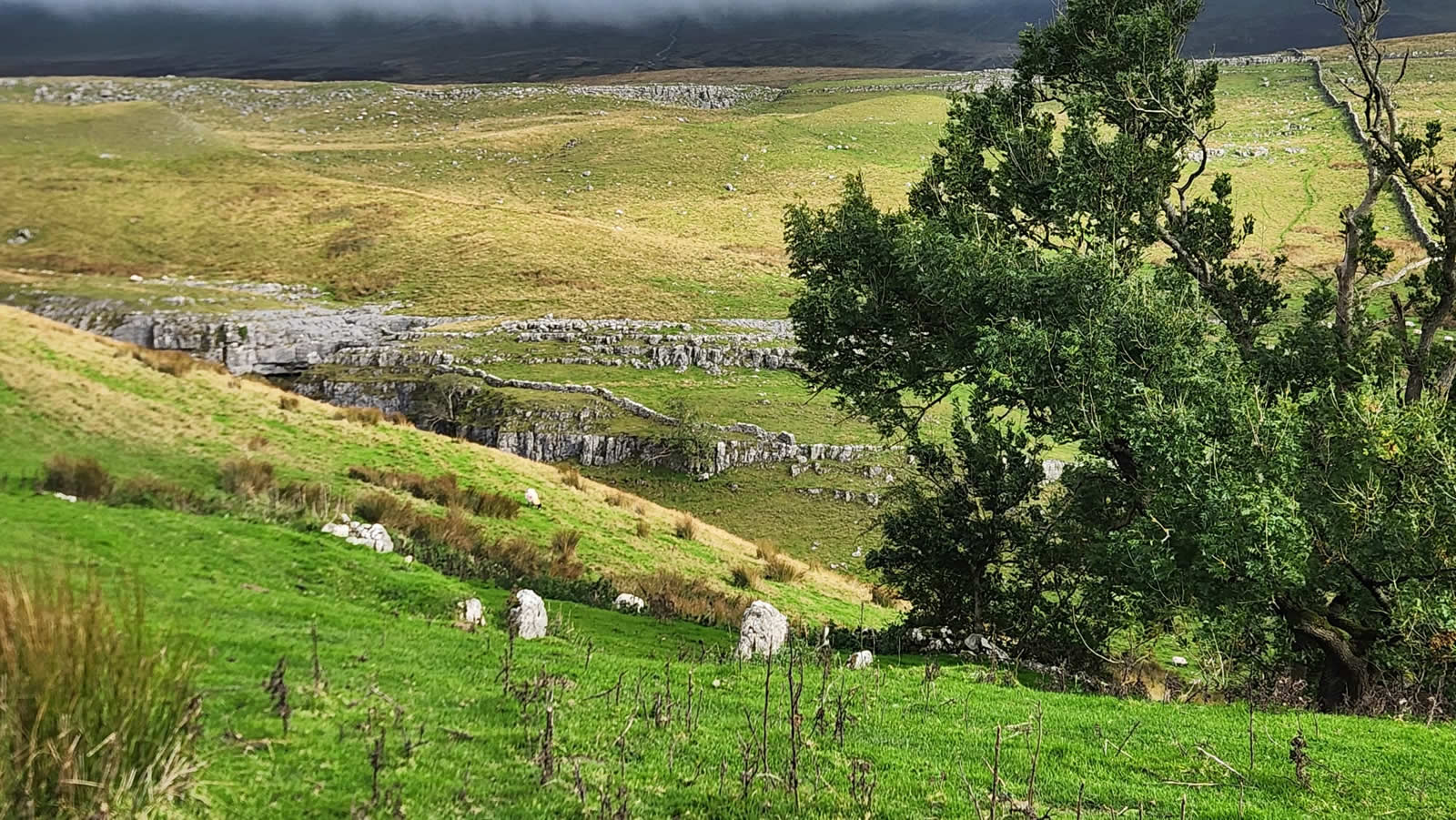
From Hull Pot we retraced our steps back to the cross paths at Tarn Bar to join the signposted track along Horton Scar for a very leisurely walk back to the start point in Horton in Ribblesdale.
A thoroughly enjoyable day, a little challenging for a period, but a great mountain day.
Thanks everyone for your support and company.
Photo Gallery
Click the buttons to select photo size.