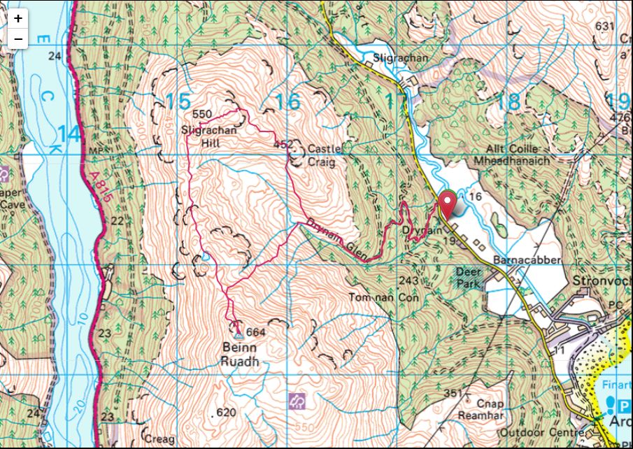
Sligrachan Hill(550m) & Beinn Ruadh(664m)
Sunday 19th April 2026
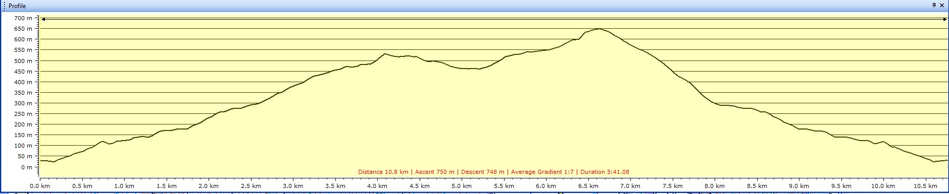
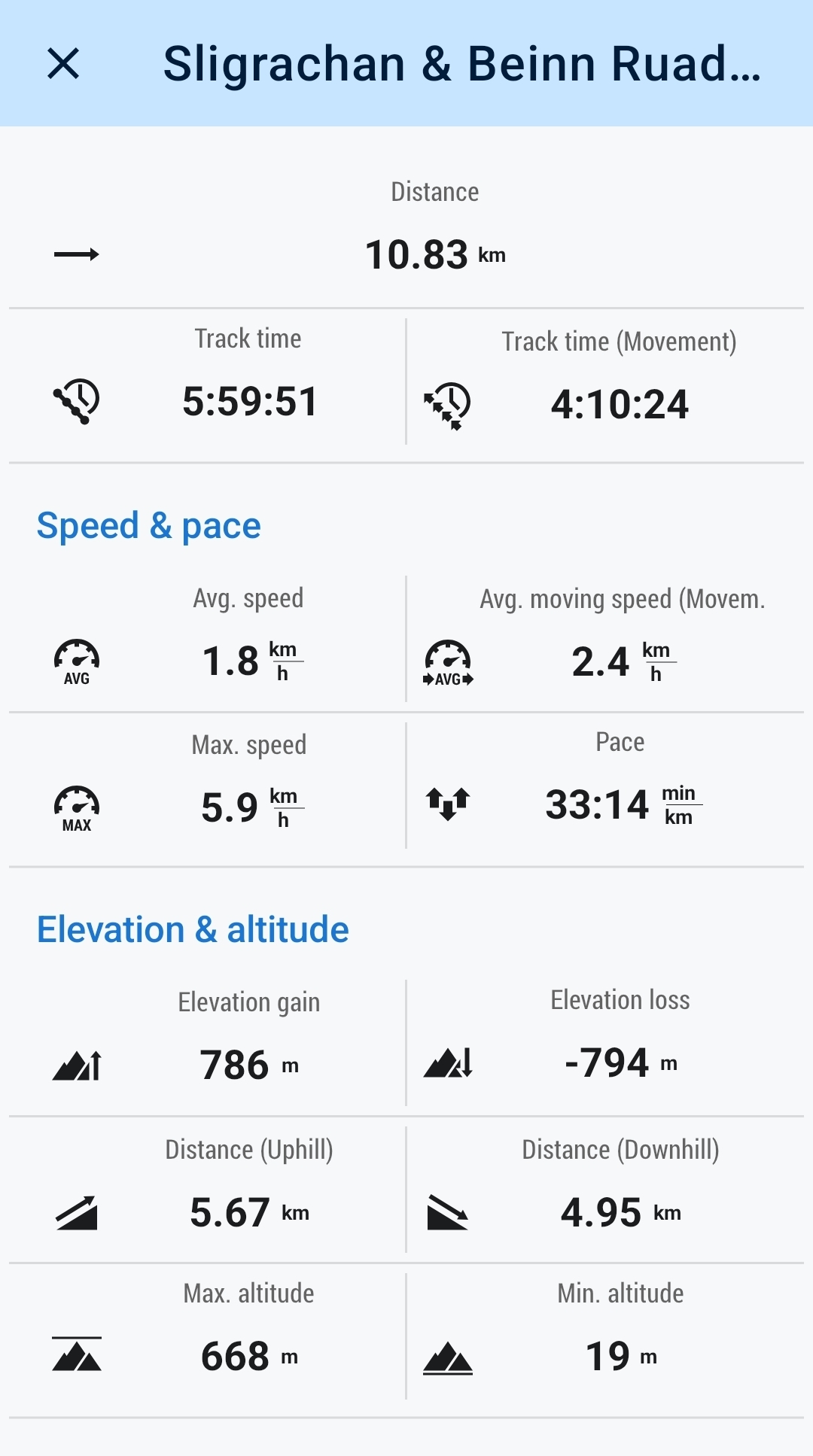
11kms
6hrs
It was thirteen years ago when I first drove down the winding road along Glen Finart to climb these two hills, Sligrachan Hill and Beinn Ruadh which form the backbone of the ridge separating Loch Eck from Glen Finart. My report for that day starts with the comment “It is often said that you should "Never judge a book by it's cover." and it could equally be said that you should "Never judge a hill by its height." Which is certainly the case for Sligrachan Hill and Beinn Ruadh. A mere 550m (Highland Five) and 664m (Graham) respectively, these two hills offer character and a walking challenge that exceeds expectations.” A comment which is just as equally valid today as it was thirteen years ago. The weather however was somewhat different, low cloud and a freezing hoarfrost on both summits then, today a mixture of sun and a few blustery showers throughout the day.
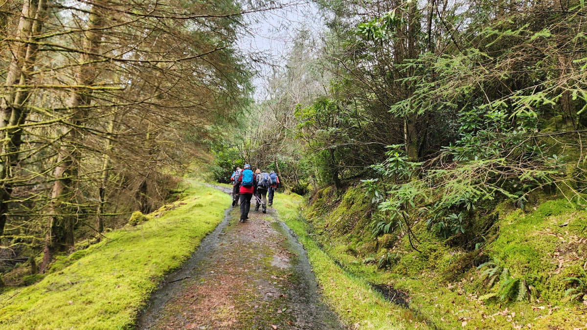
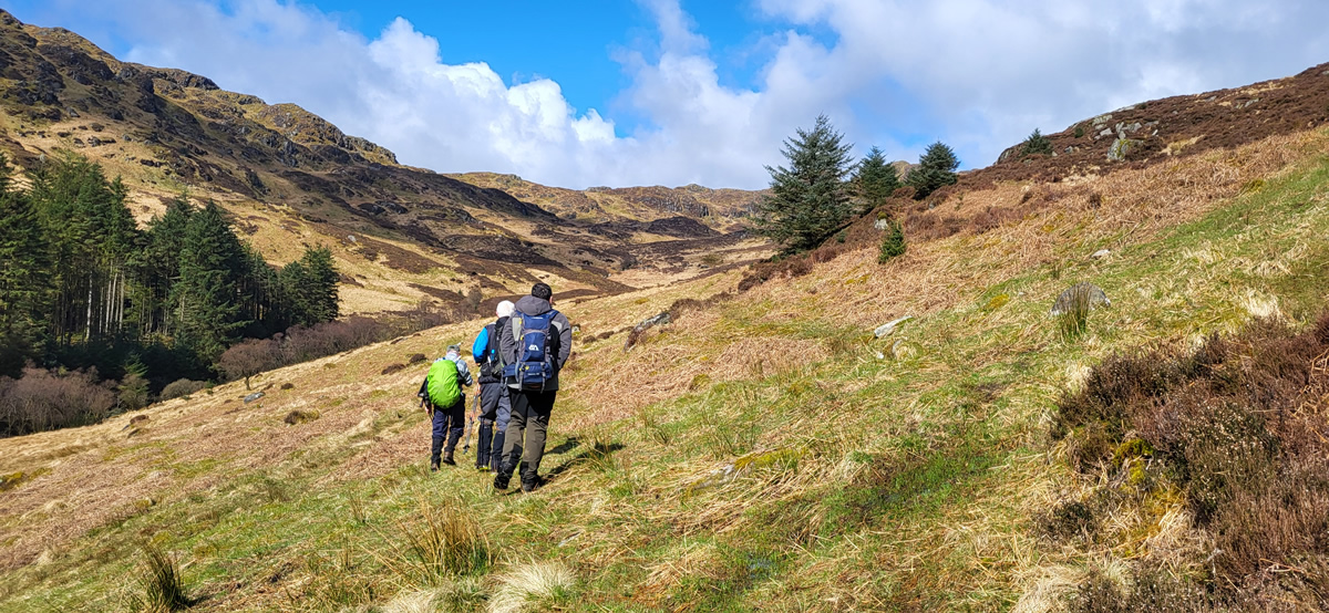
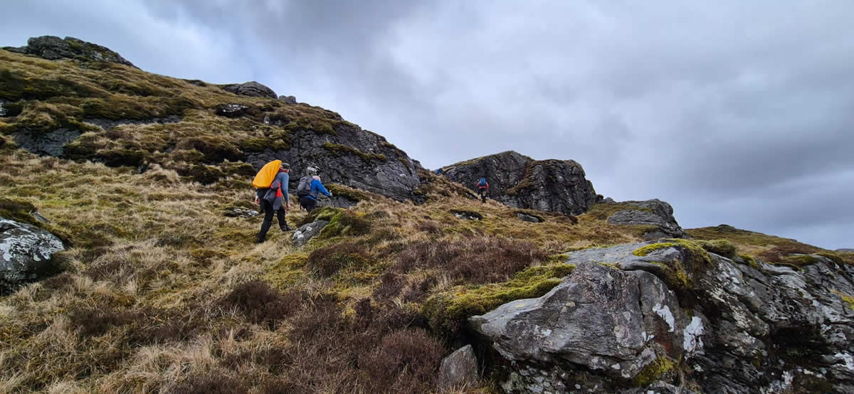
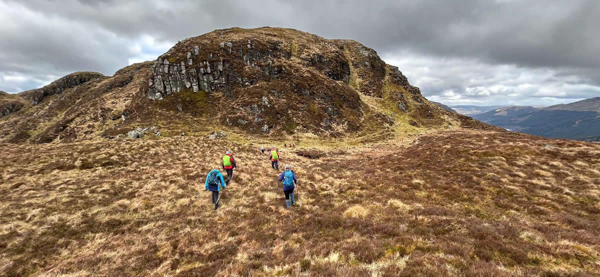
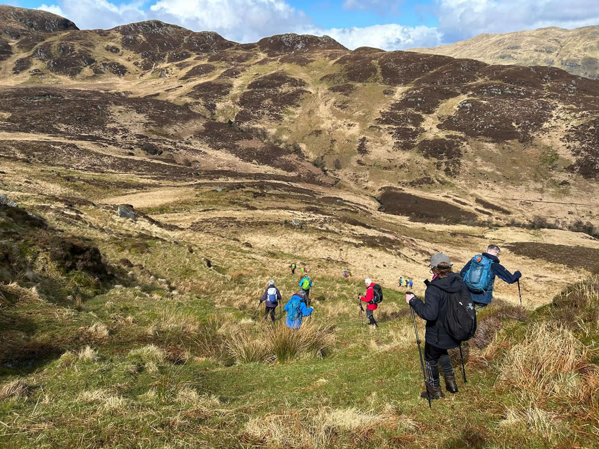
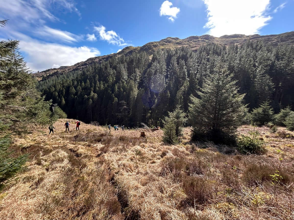
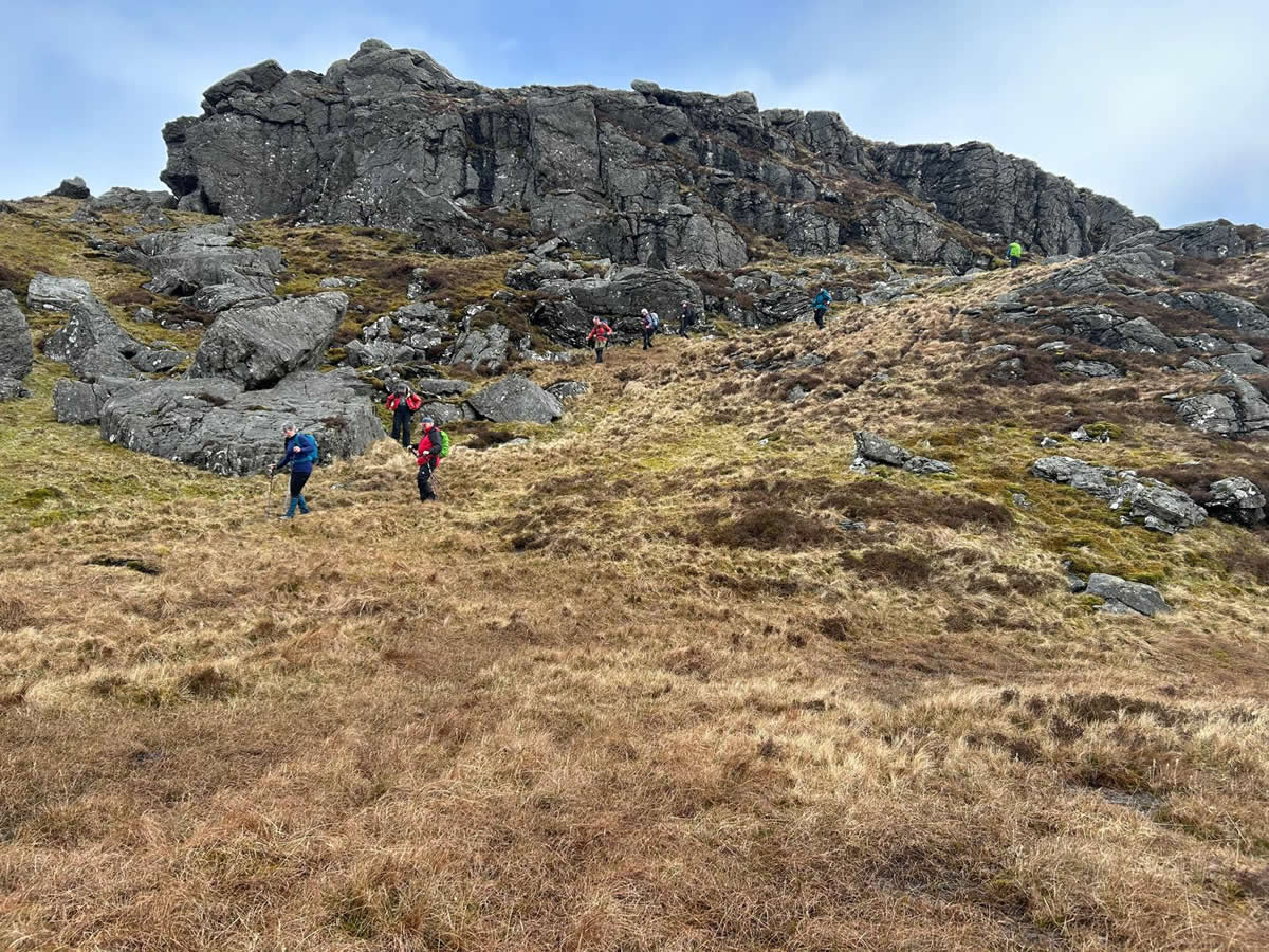
Being a Sunday with no bus services running we made use of the small off-road parking area somewhat grandly signed as “Bus Terminus” to park and start our walk just a few metres from the entrance to the forest track which would take us up and through the forest to the open hillside above Drynain Glen where we would see the vista of the ridge and the spectacle of the day’s walking ahead of us. Drynain Glen is a rough grass and heather hillside with no defined paths or tracks as you walk through what is really no more than the natural spacing between the clumps of grass or heather that your mind convinces you is a “track”. Nevertheless, progress is made and the minor top of Tom a’ Bhothain offers a natural spot to take a short break and to survey the options for the way ahead as the crags on the eastern slopes of Sligrachan Hill come into view.
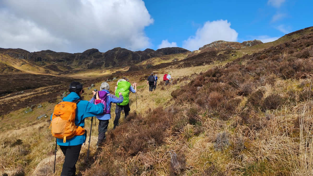
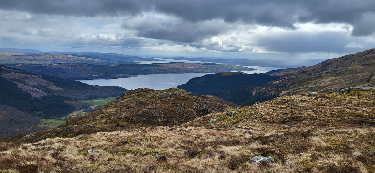
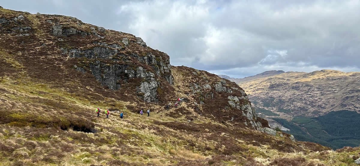
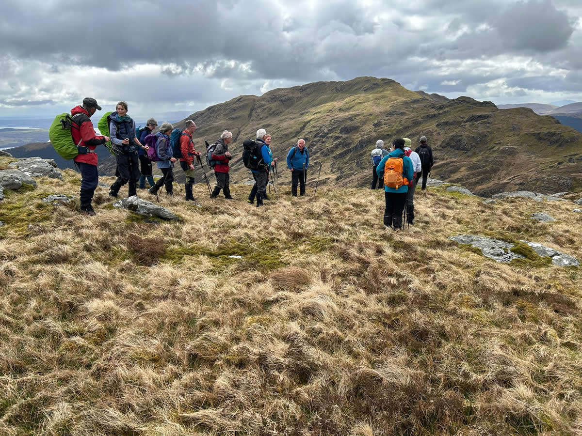
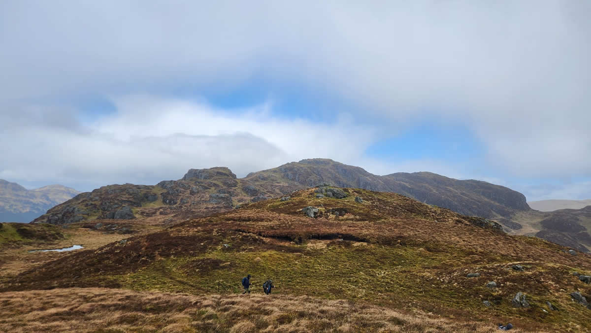
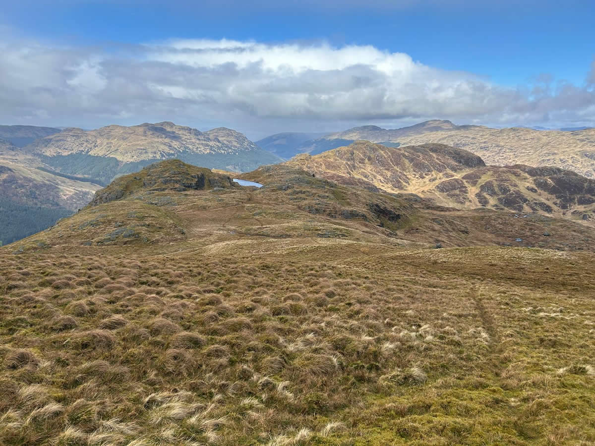
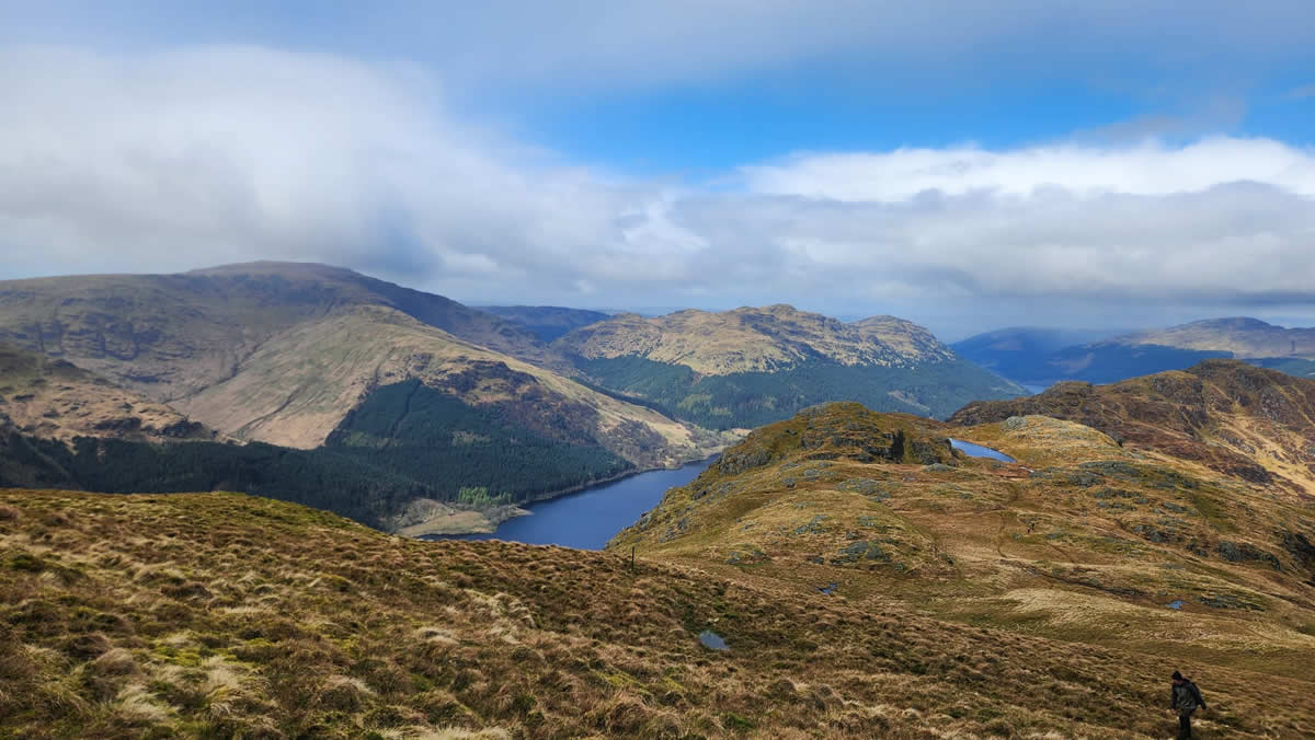
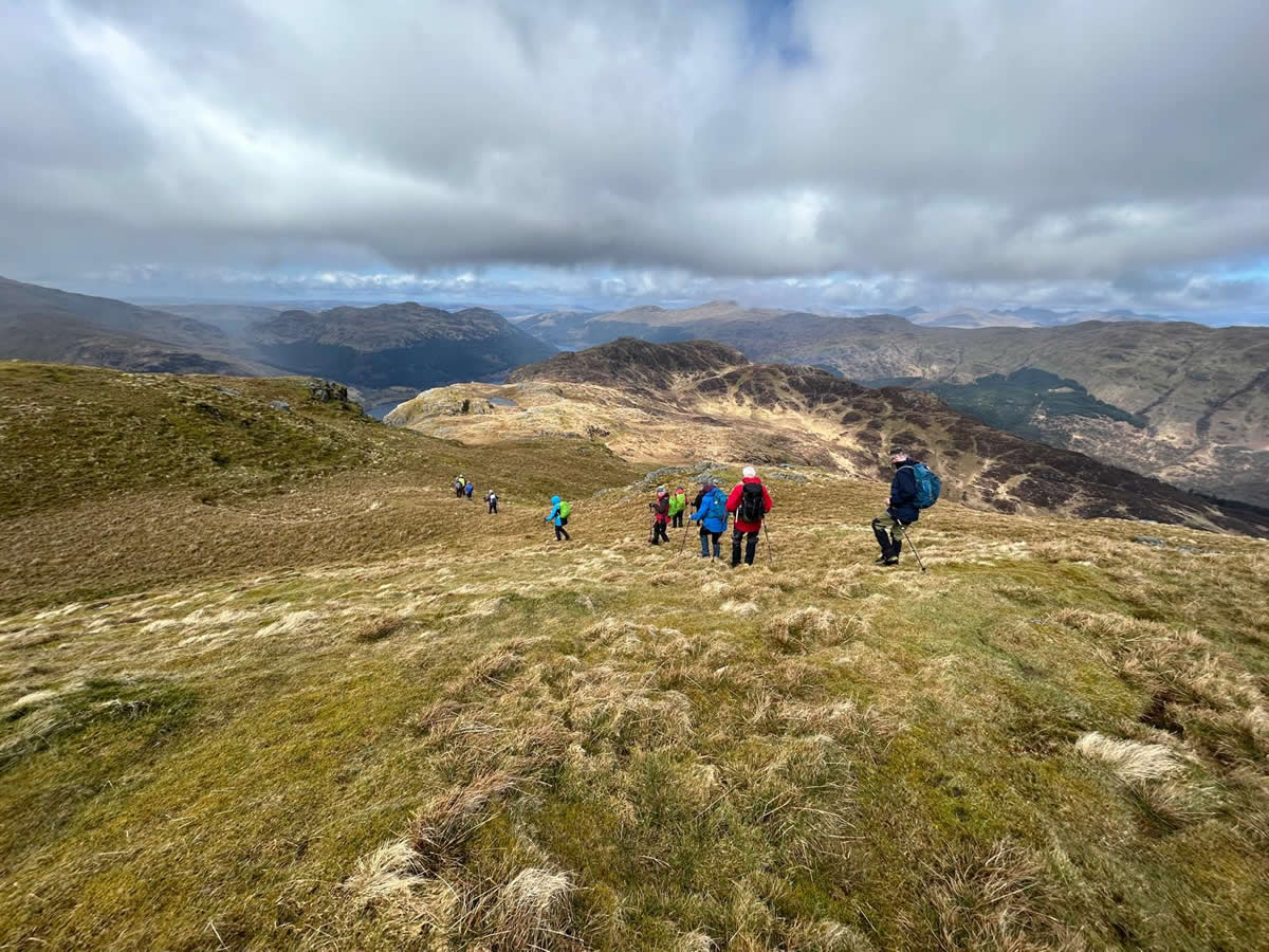
Once moving towards the crags the natural line draws you up and around them in a series of grassy rakes where a track of sorts comes and goes as you pass through the narrower sections of the crags towards the eastern-most and first of the twin tops that are the feature of Sligrachan Hill. From this vantage point the views are quite extensive and in particular as you look south east over Loch Long and the Roseneath Peninsula to Helensburgh and Ardmore Point on the distant River Clyde. A few hundred metres west lies the second of the twin tops; a fairly steep descent followed by a plod through rough heather and a final steep climb is required before reaching the cairn marking this western-most and highest of the twin tops. The view from here along the ridge to Beinn Ruadh is quite spectacular as it is interspersed with a number of craggy knolls which add to the ruggedness of the whole ridgeline.
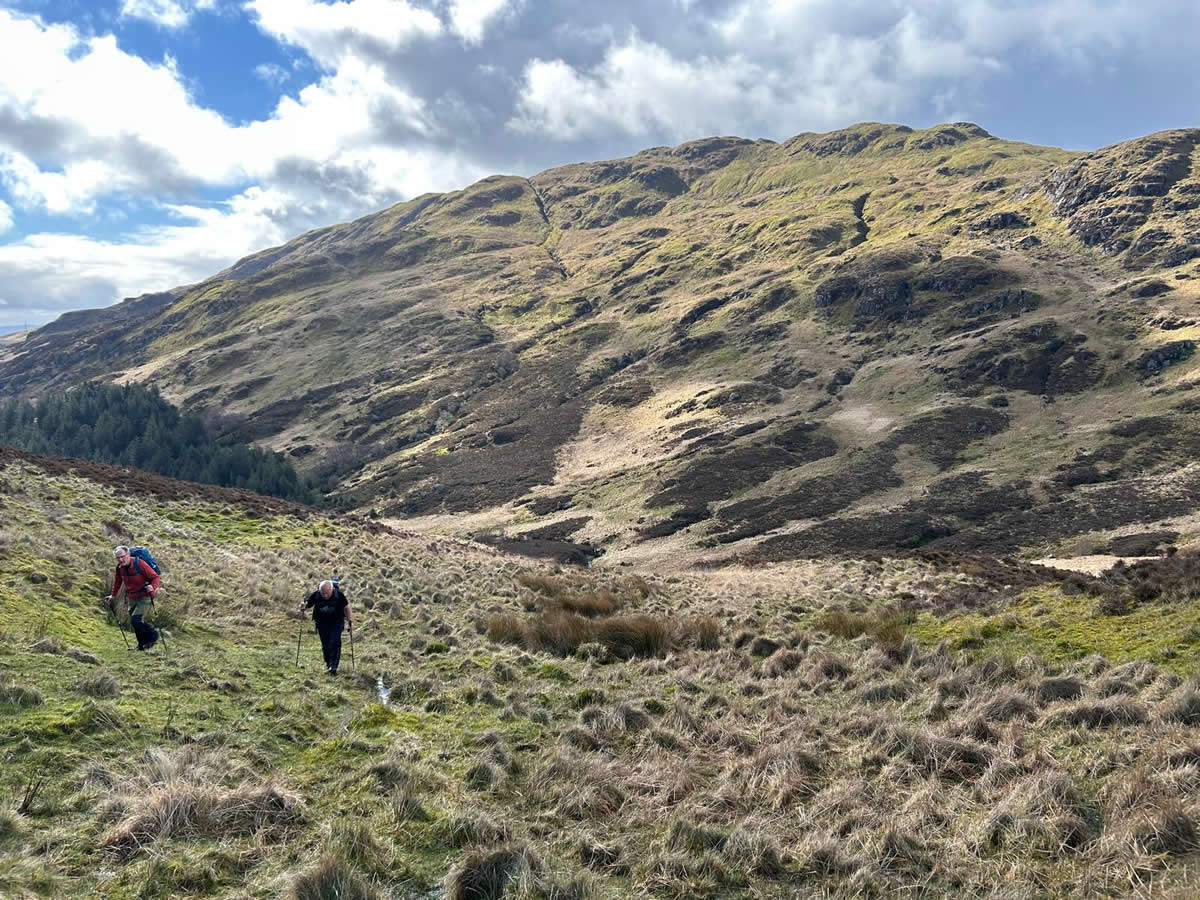
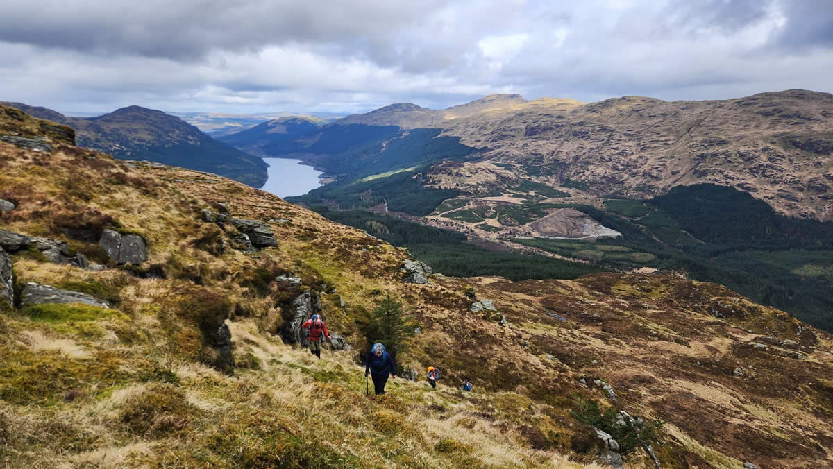
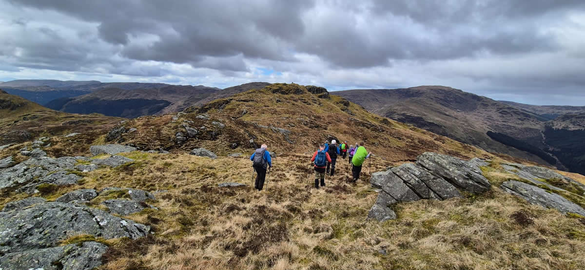
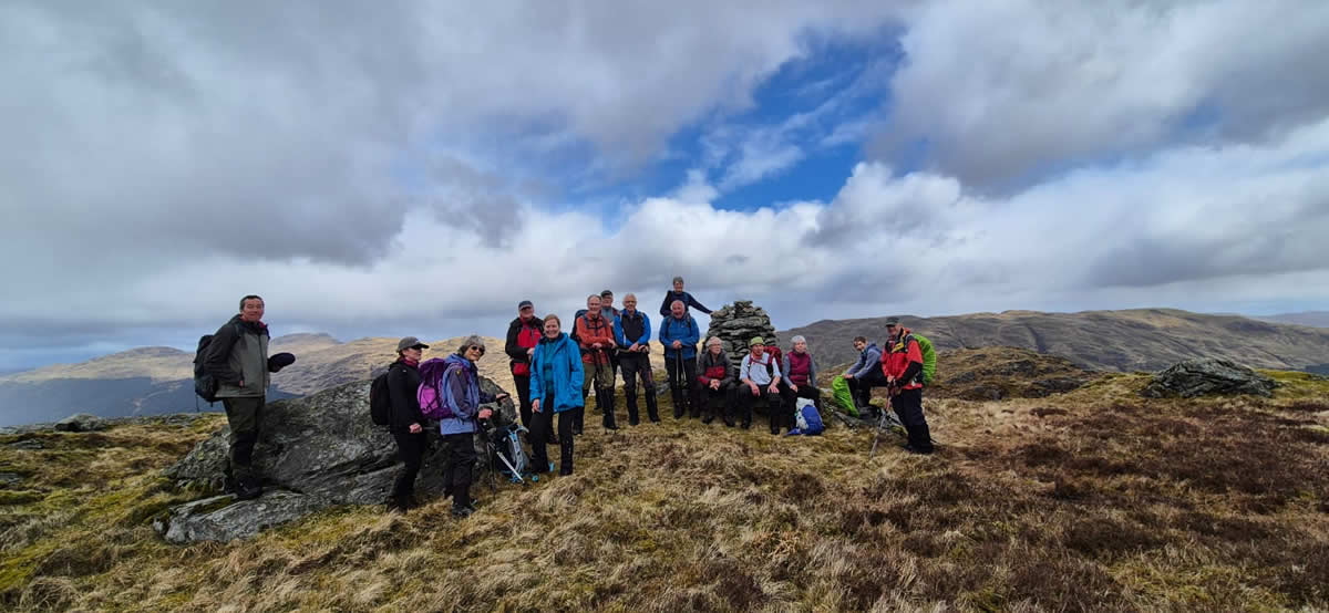
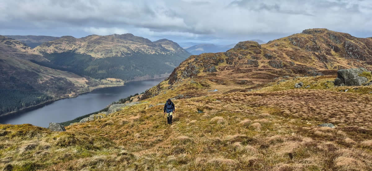
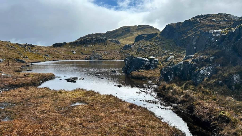
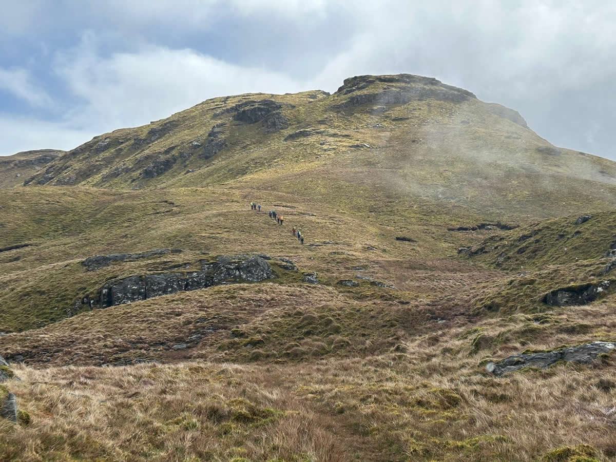
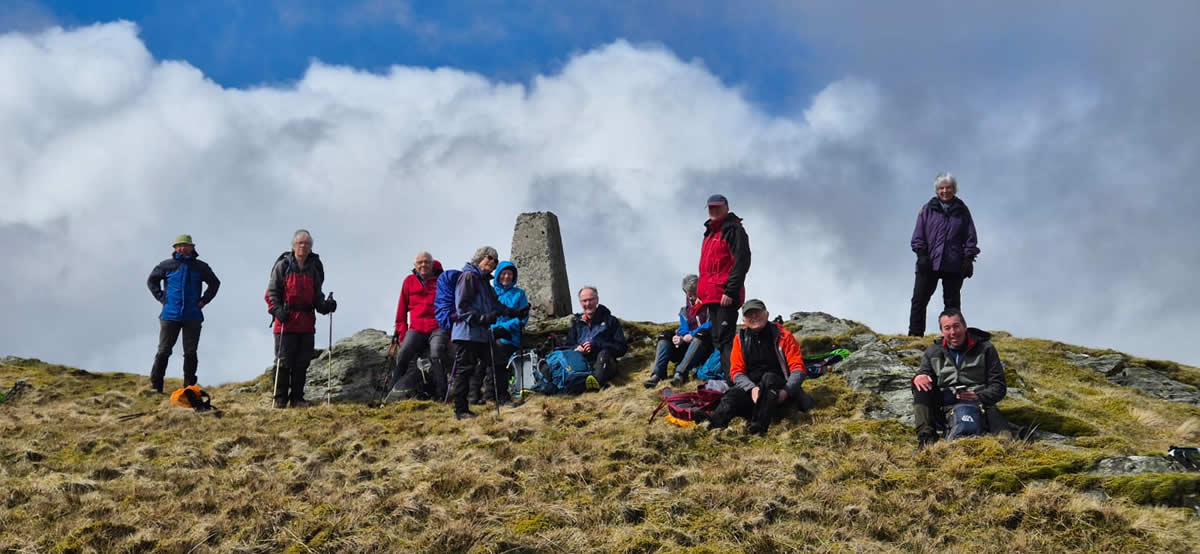
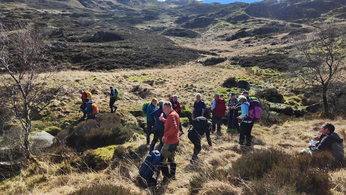
A ridgeline the traverse of which begins with yet another short, steep descent from the cairn followed by an undulating track which navigates around the high points of each knoll as progress is made along the ridge with the ever present Loch Eck glinting in the sunlight below. As we approached the small lochan lying at the base of Beinn Ruadh, I was in need of some refreshments and energy intake before tackling the final climb to the summit of Beinn Ruadh, and so I called ahead to Mike who held back with me and we both had a quick drink and bite before setting off again with the main group now a few hundred metres ahead and making their way up the grassy slopes to the summit Trig Point. Refreshed with my intake, we were not too far behind as we joined them for a slightly longer stop for lunch and the obligatory summit photo call.
Our way up had taken the long circuitous route; our descent would be much more direct, a short northerly descent from the Trig Point before swinging generally north east and descending a broad grassy gully directly towards the point where the Drynain Burn meets the forest boundary for a crossing and return to our out-bound track for a steady descent down through the forest and back to the “Bus Terminus” in Drynain.
Thirteen years later these two hills have lost none of their attraction nor challenge. A great day Thanks Jack and all for your company.
Photo Gallery
Click the buttons to select photo size.