Meikle Bin from Queenzieburn(570m)
Saturday 27th April
13kms
5hrs 30mins

Meikle Bin has been a regular jaunt on our walking calendar for some time now, but we have always made our approach from Todholes, north of the summit and via the Carron Valley Reservoir forest route. However, today Idris had chosen to turn everything on it’s head and instead make our approach from the south, starting in the village of Queenzieburn via the Birkenburn Reservoir.
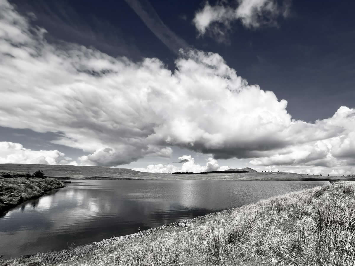
So north it was out of Queenzieburn on a steady uphill plod, initially on a narrow single lane tarmaced road for the first kilometre and then a rough farm track towards Corrie Plantation, where the farmer had set up a slight diversion to direct walkers away from the main farm buildings into and through Corrie Plantation itself. This proved to be a section of woodland and small water courses which, together with the presence of some wandering hill sheep and young cattle, was a very pleasant diversion indeed. On exiting Corrie Plantation it was just a short wander across the open hillside to regain the track along which we would continue on a slightly lesser gradient uphill towards Birkenburn Reservior, where we crossed the 400 metre long earthen work dam, at the northern end of which we sat in pleasant sunshine for a mid-morning break.
From this point on we left the good farm tracks behind and took to the open hillside and the often wet and boggy grassy track which paralleled the fenceline generally north towards Black Hill before swinging west along the forest boundary as it rose up and over Black Hill to a gap in the forest a few hundred metres beyond the high point on Black Hill.
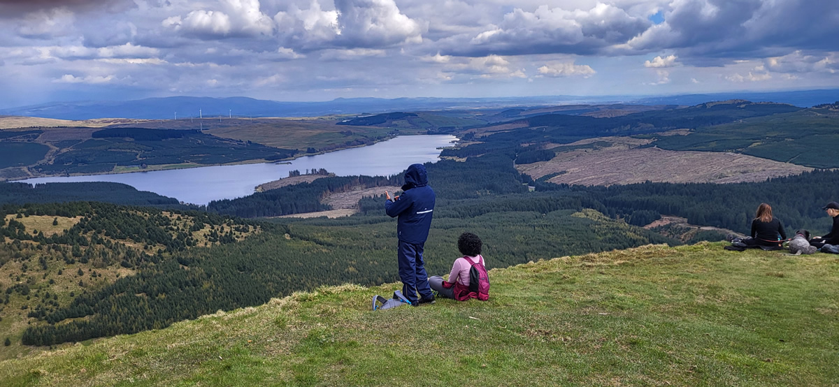
A quick look at the map, and you will see that from the forest boundary on Black Hill to where the forest ends on the lower slopes of Meikle Bin is about 300 metres, 150 metres quite steeply downhill to a small burn running through the forest gully below, and an equally 150 metres uphill before breaking out into open hillside once again. Only a mere 300 metres, but then there is the bog. Especially on the downhill stage, it is quite wet and boggy underfoot making for an interesting descent. Uphill, it is not quite so bad, initially yes, and with a couple of deep ruts to be negotiated, but then a nice straight line of trees between which a narrow, but crucially dry, path runs directly to the forest boundary and good grassy hillside is reached. From here, an ascent of 100 metres over 800 metres is a fair exchange in effort for the views that await at the 570 metre trig point which marks the summit of Meikle Bin. Now it was time for a well deserved laid back lunch in fine weather with beautiful views all around; excellent.This being an out and back walk, after lunch we simply reversed our outbound route and made quite a leisurely return to Queenzieburn, and once de-booted and a short drive, a coffee and pleasant conversation in the Kirkhouse Inn in Strathbane brough the day to it’s end.
Thanks Idris for a fine walk, and everyone for some great company.John
Meikle Bin - Photo Gallery
Click any photo to activate large screen photo gallery