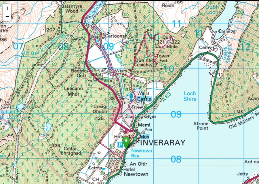
Dun Corr-Bhile(322m)
Dun na Cuaiche(240m)
Sunday 14th May 2026
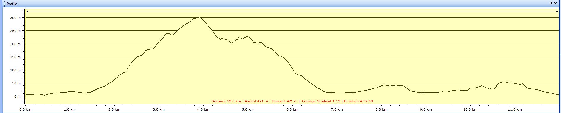
12kms
5hrs
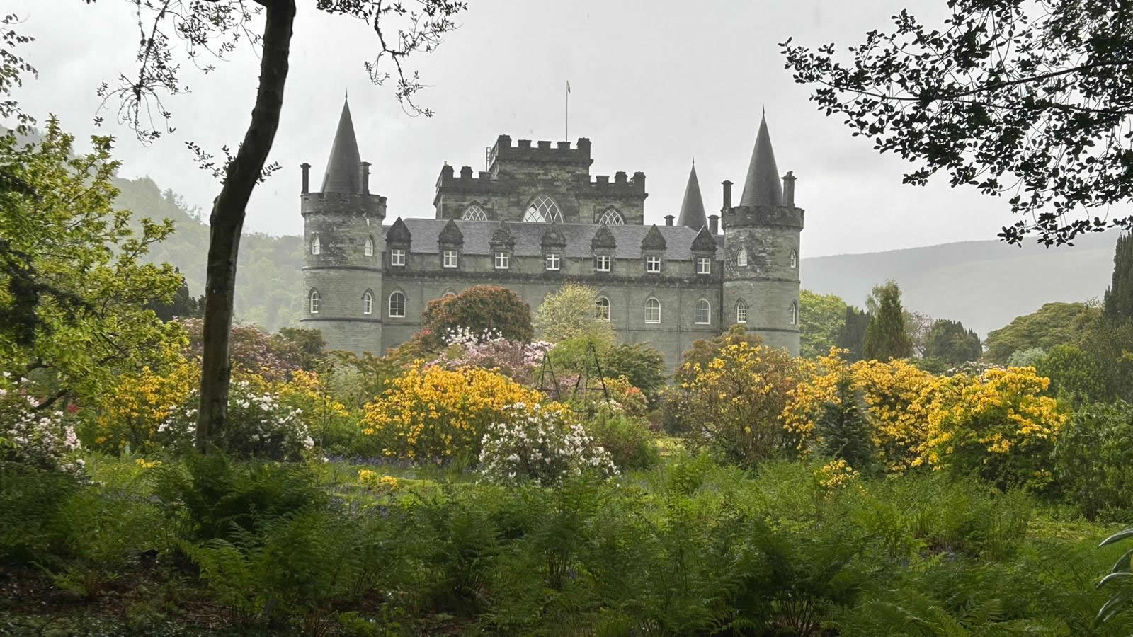
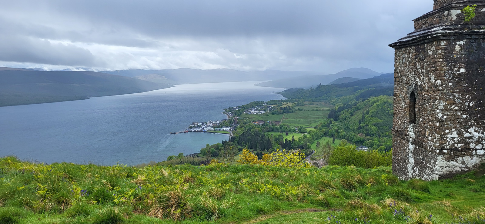
Anyone who has visited or passed through Inveraray has probably gazed up at the “Tower” that stands on a hilltop above Inveraray Castle, and many will have taken the relatively short but steep walk from the castle to the hilltop that offers a panorama over Inveraray and Loch Fyne; the walk to the “Tower” and an extended walk along the banks of the River Aray has been a favourite of our group for a number of years, a walk which I have always missed for one reason or another. Therefore, I was looking forward to finally adding this top and river walk to my list of walks, and, as a bonus, Trish had added in the 322m high Dun Corr-Bhile which sits just north of the “Tower” on Dun na Cuaiche. We had an interesting day ahead.
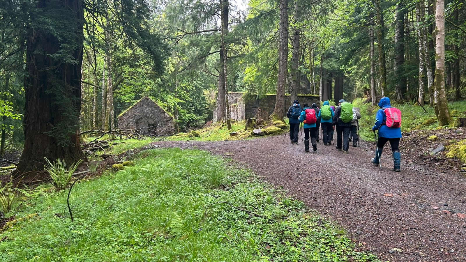
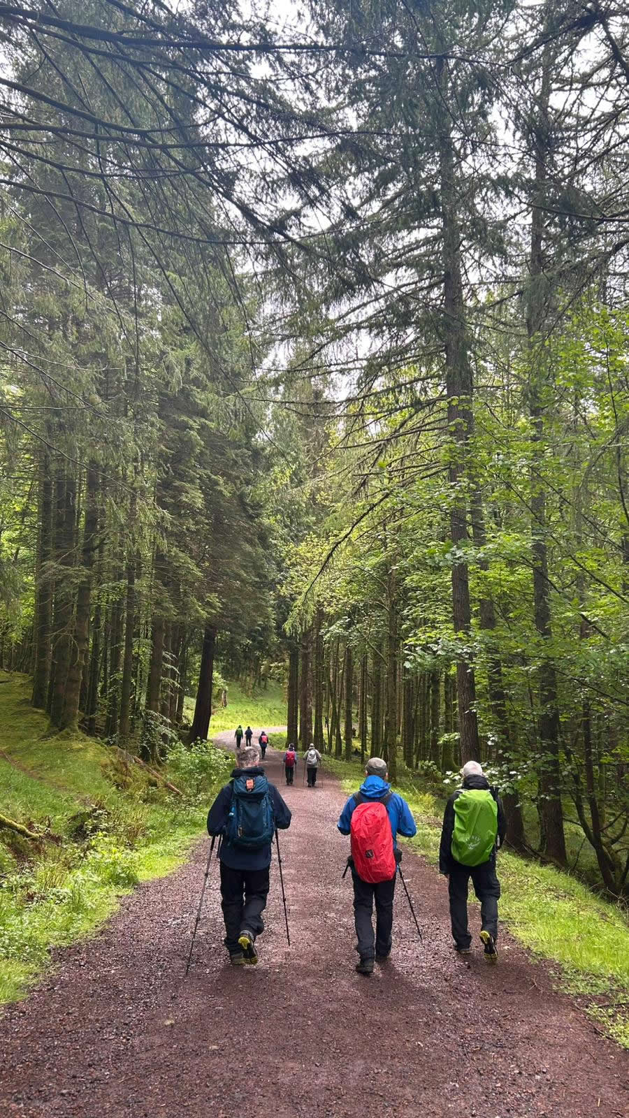
Our interesting day started with a drenching as we left the car park in Inveraray in a heavy downpour which ensured that by the time we had walked through the main castle grounds and past the castle gardens, crossed the mid-18th century ornate “garden” bridge over the River Aray, entered the forest and were passing the ruins of the once substantial lime kilns and storage buildings we were truly grateful for the waterproof clothing we had donned before setting off from the car park.
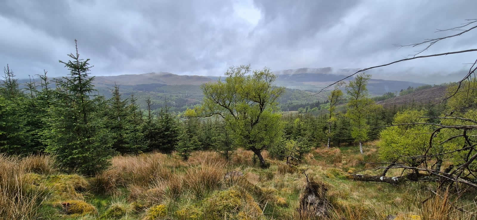
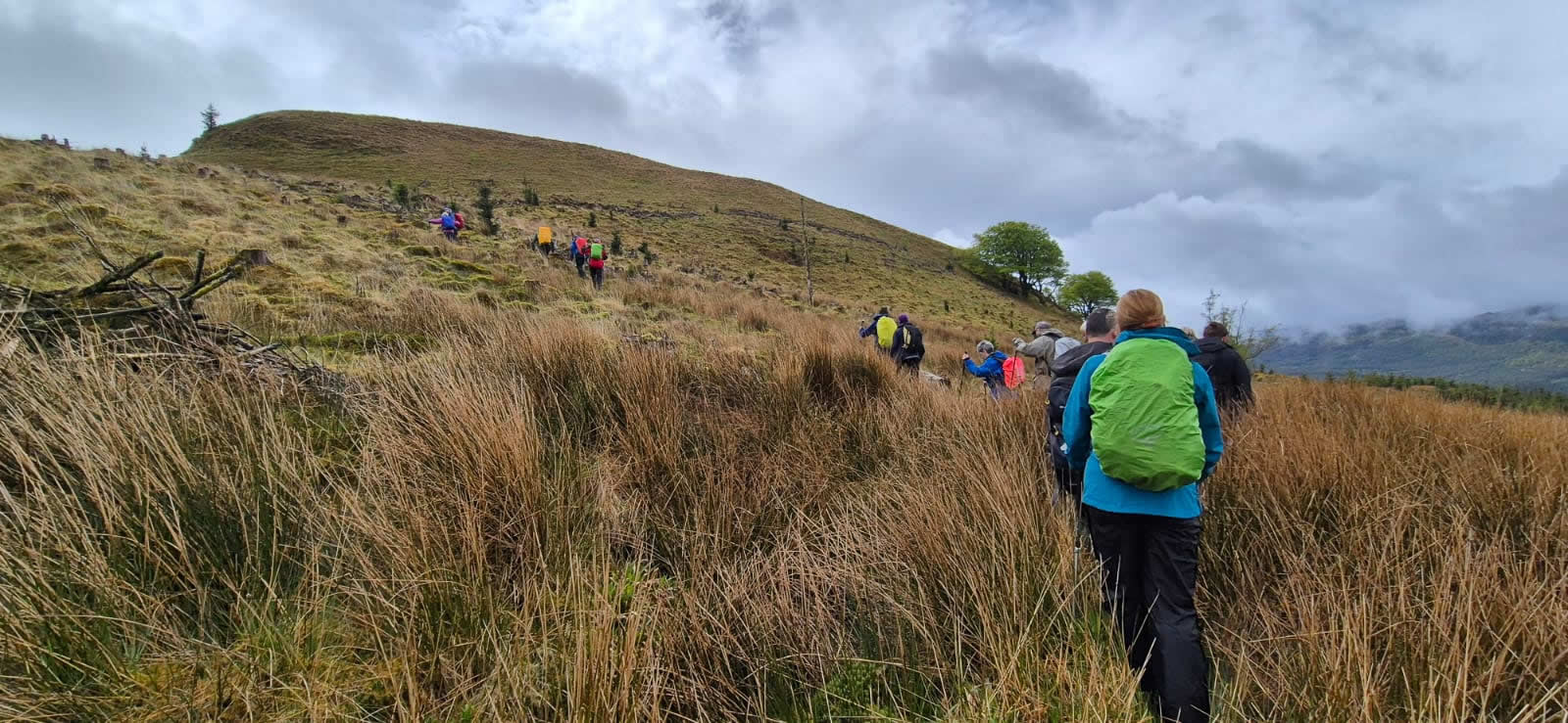
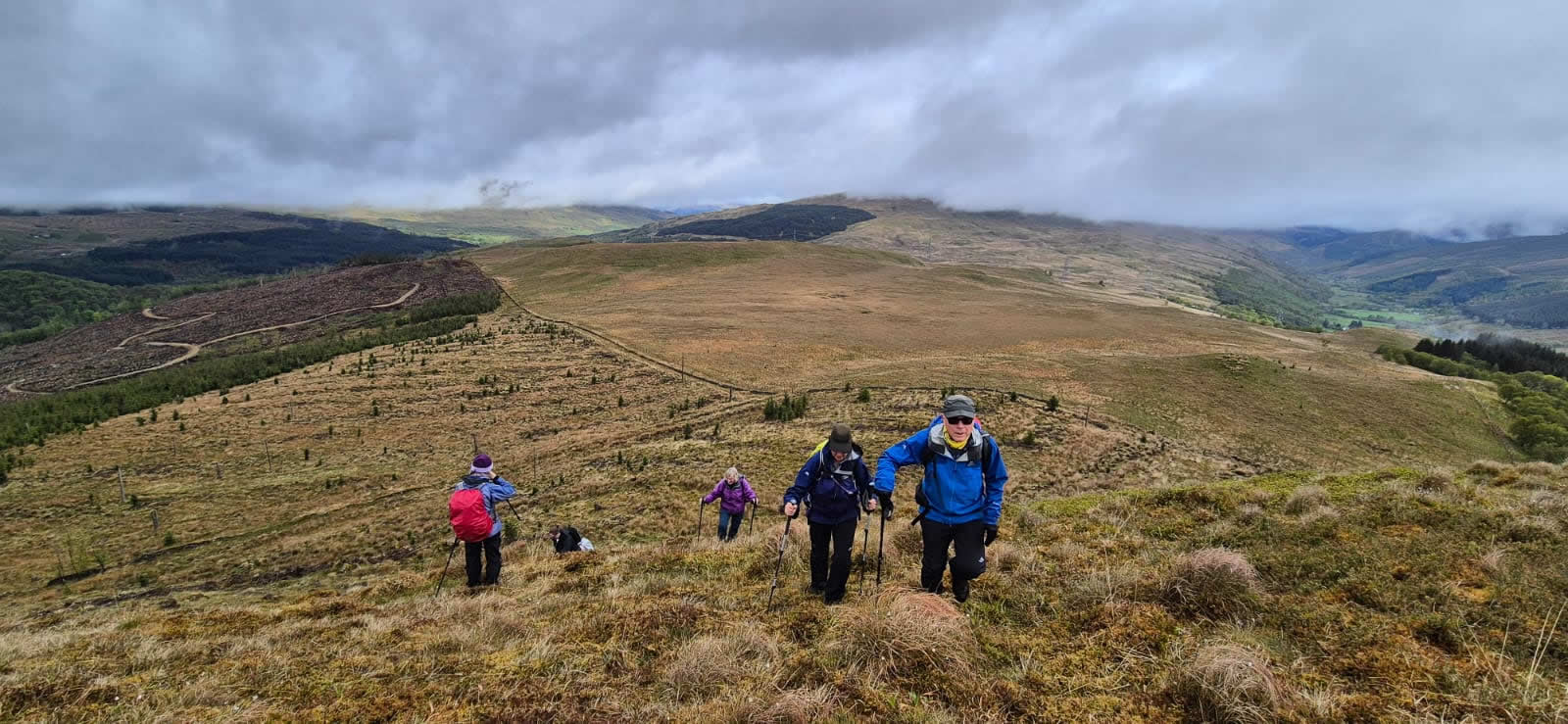
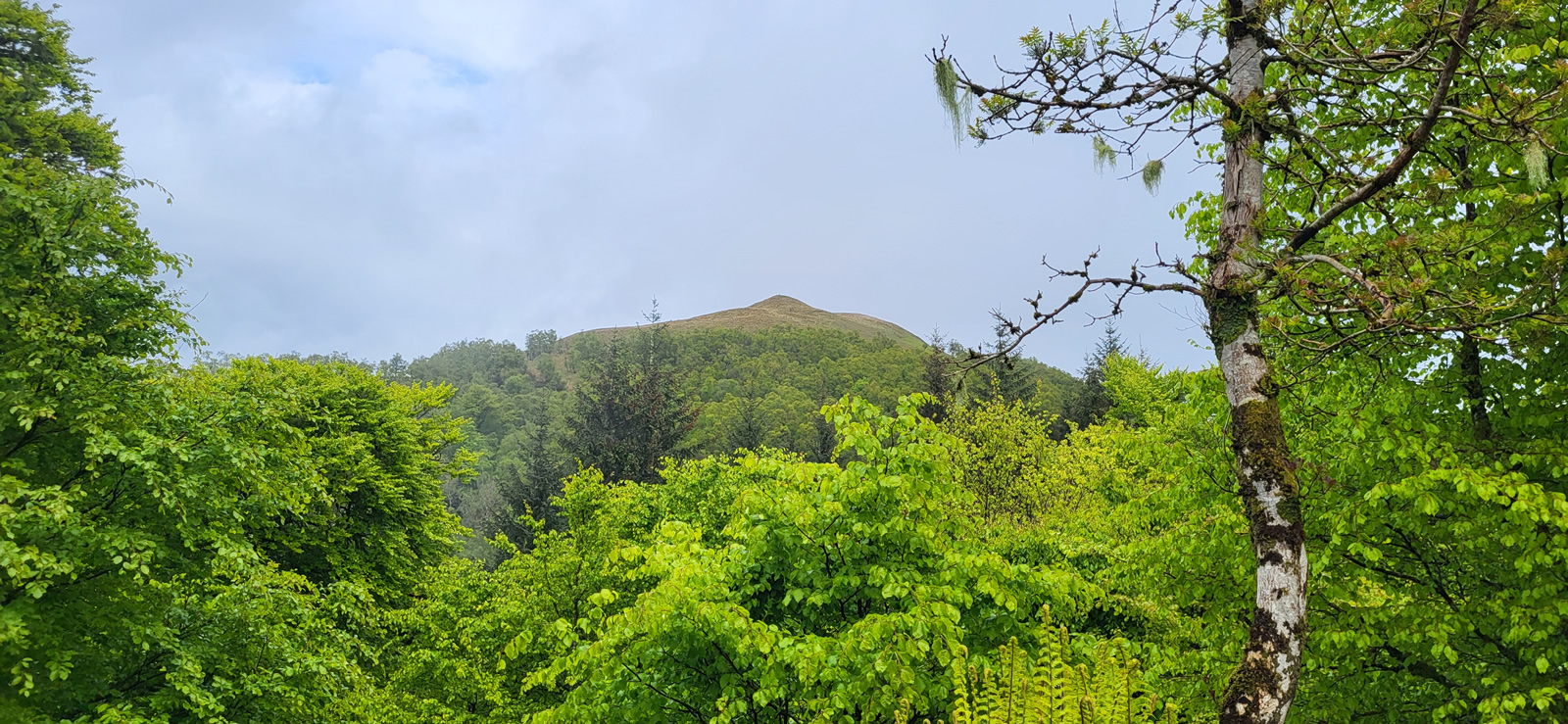
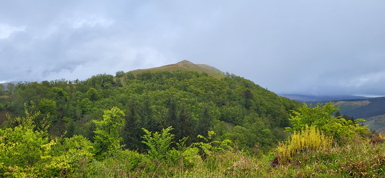
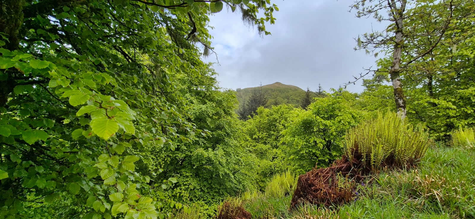
We made the steady ascent north up through the area of an old Pinetum, the original conifers having been planted during the late 17th century and 18th century, to a point where the track takes an almost 180 degree hairpin turn, continuing on the main track would lead directly to the summit of Dun na Cuaiche and the “Tower”. However, at this point we left the main forest track and entered the area of Brackley Wood, a more undefined woodland rather than the pine plantation, and, although the OS maps quite clearly show a track continuing north through Brackley Wood before swinging south east and north east towards the north shoulder of Dun Corr-Bhile, on the ground there is little evidence of any substantial track having been through this area, not even any evidence of the flattening of the ground. It is to Trish and Lesley’s credit that they found this “track” on their recce for this walk. It was an interesting transit until we crossed an old boundary wall into open, grassy hillside for the final, and steepest section of the walk to the 322m summit of Dun Corr-Bhile, and a short distance away the Trig Point which stands at 321m.
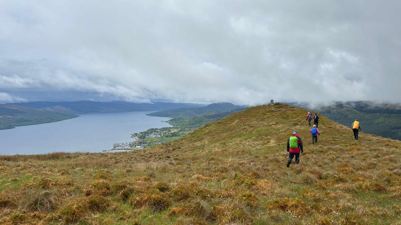
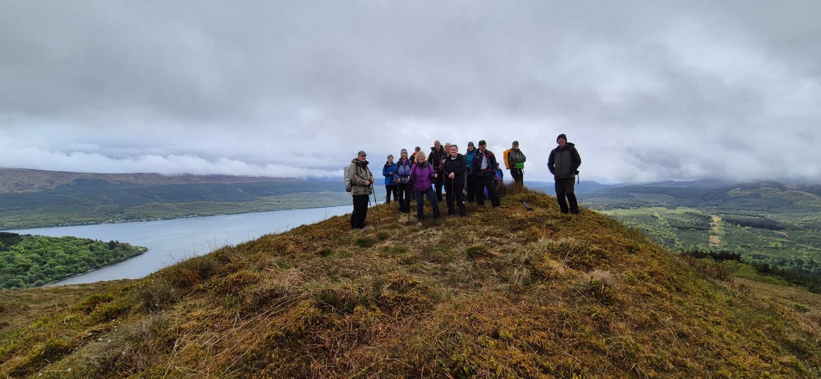
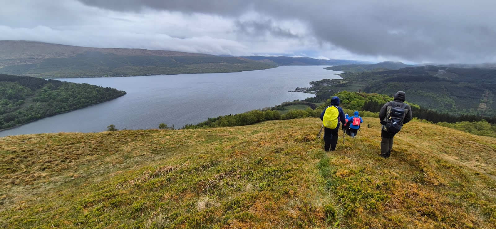
Thankfully at some point between the forest and the open hillside the heavy rain had stopped and apart from the odd light drizzle it was now dry, meaning that we could enjoy this fine viewpoint and claim a rather unusual “first” for our group. A group of diverse walker, we can claim a number of elite Munro and Corbett completers, others who have tramped a multitude of mountains and tops both locally and afar, and, of course, new members who will often claim a “first” on summiting on a days walk. Today however, we had the extraordinary situation where all 18 walkers out today (with the exception of Trish and Lesley) could claim a “first” as we summited on Dun Corr-Bhile, amazingly none had ever included this hilltop on any previous visit to the “Tower” on Dun na Cuaiche. We left the Trig Point for a short southerly descent, initially on grassy hillside before entering the woodlands that lie between Dun Corr-Bhile and Dun na Cuaiche to intersect the main path once again for the short, twisting ascent to the summit of Dun na Cuaiche and the “Tower”.
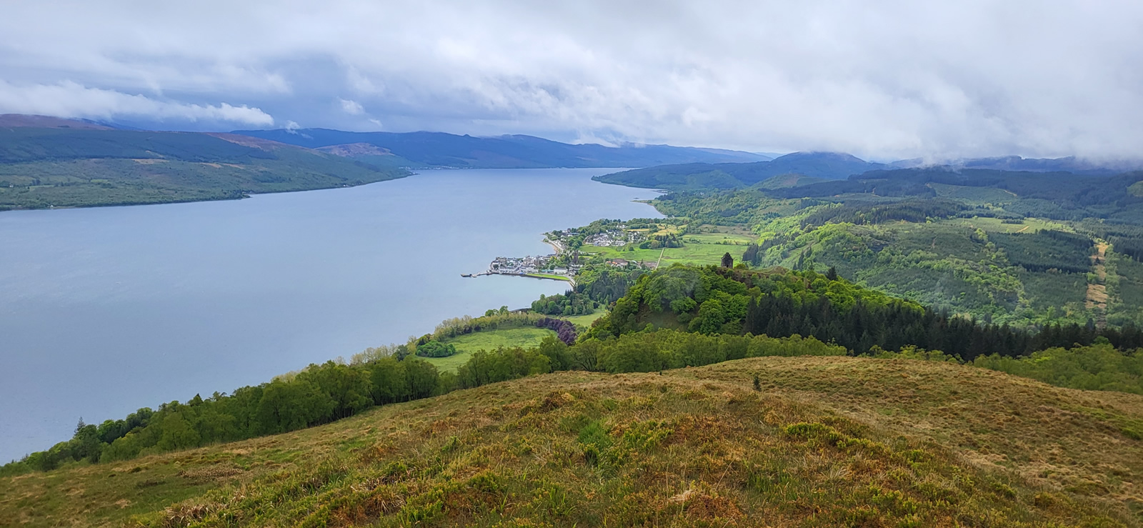
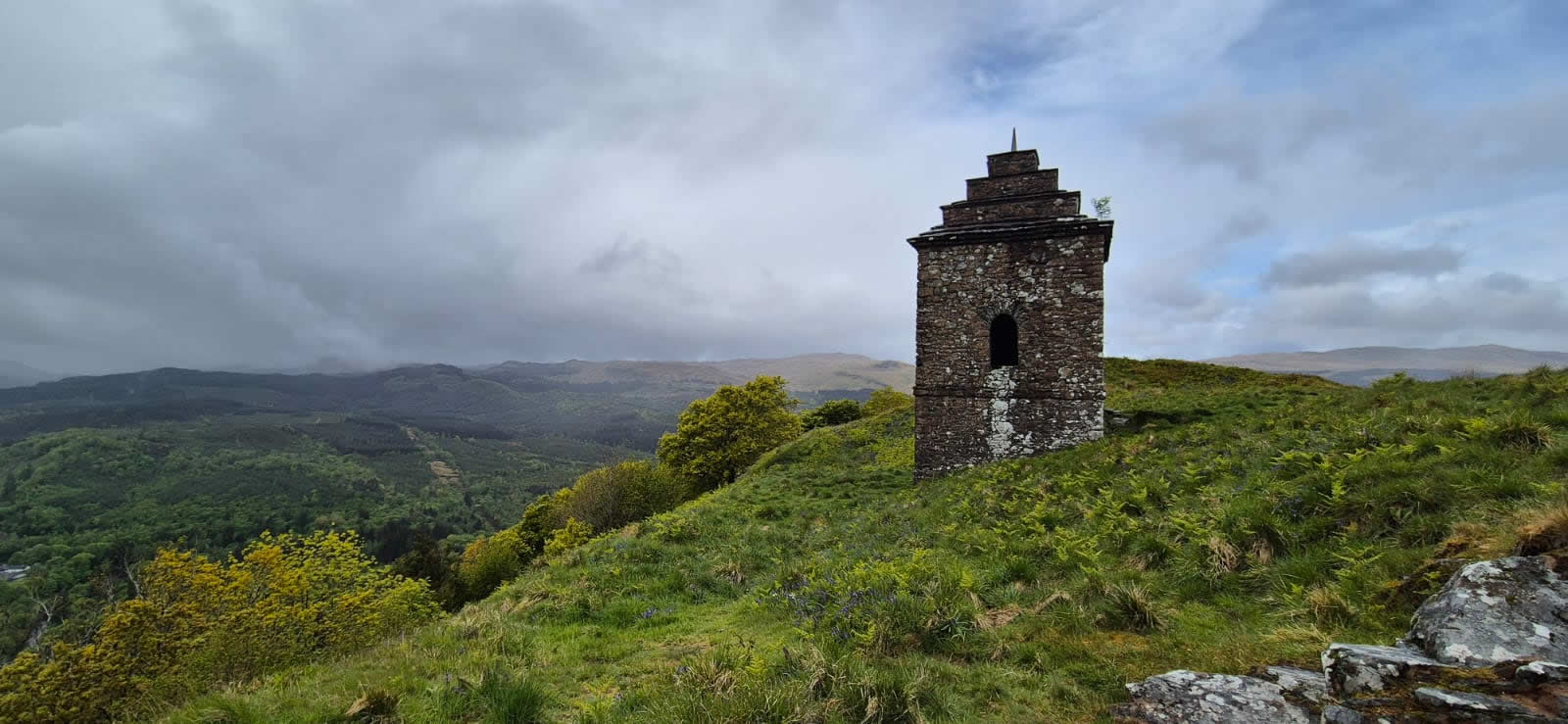
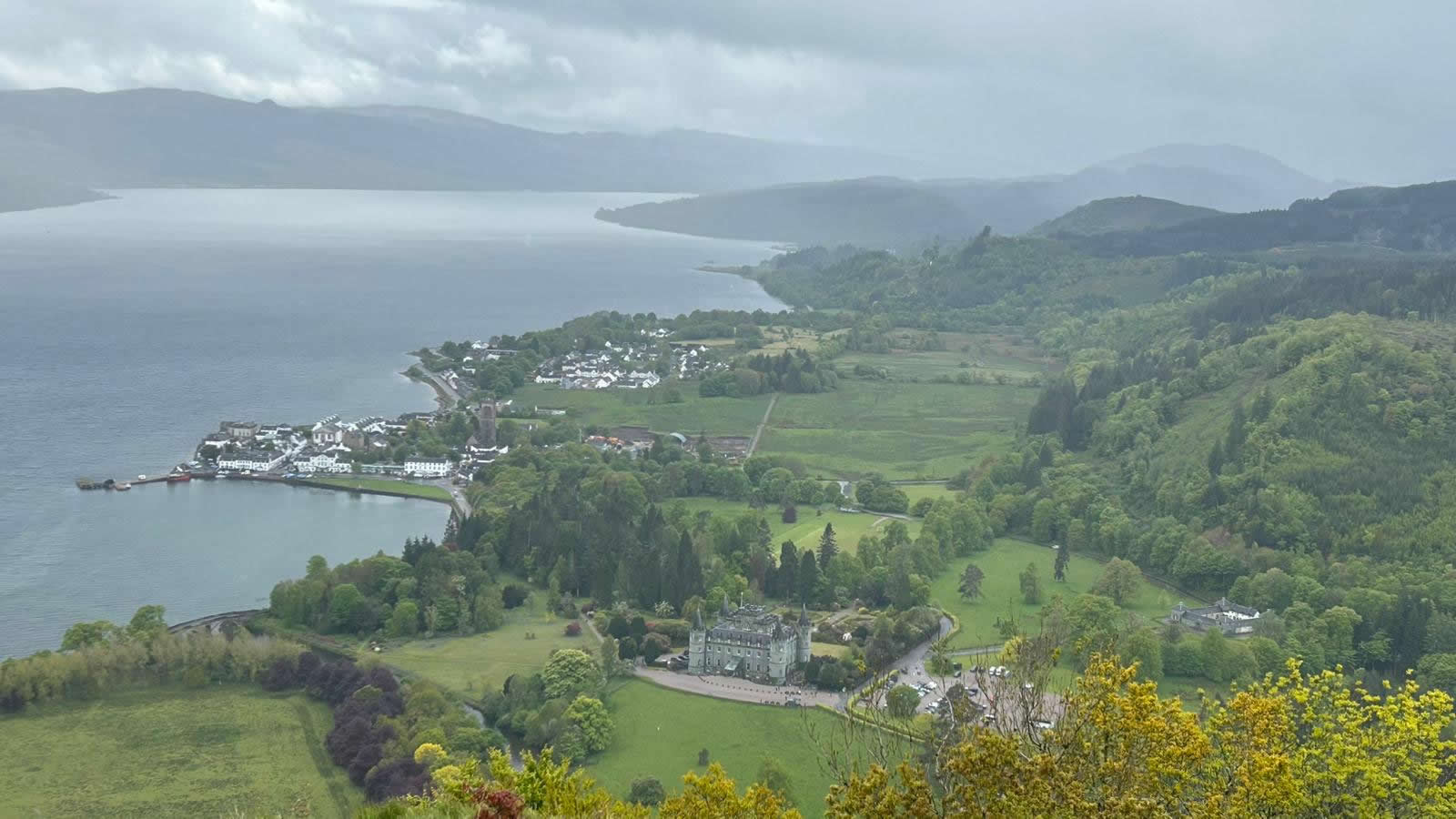
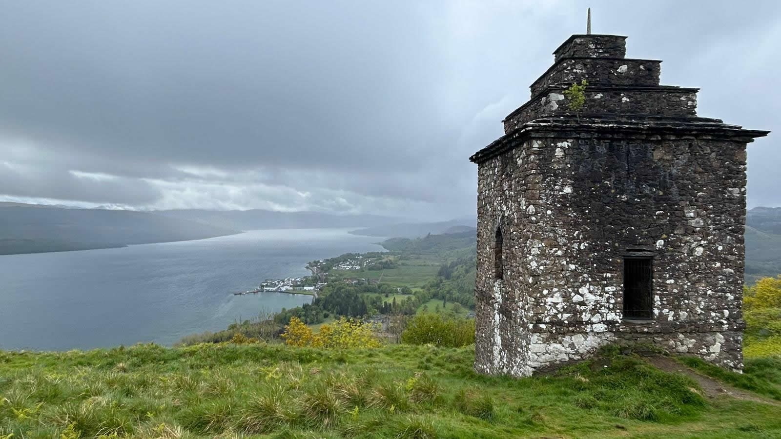
The Inveraray Castle website states that “The tower itself was designed by Roger Morris and William Adam and was built in 1748. Its purpose was purely decorative and was cleverly sited on the edge of the steep face of the hill but not quite on top so that when seen from the Castle and Town it is silhouetted against the sky. From this commanding position it is possible to see how the landscape has evolved over the past 300 or so years.” It is a wonderful vantage point with a magnificent view over the castle, Inveraray and Loch Fyne, ideal for our main lunch break and a welcome rest in the ever brightening weather. And, as I mentioned at the beginning, a new top for me, and this time, just for a few of the others, unlike the uniqueness of Dun Corr-Bhile.
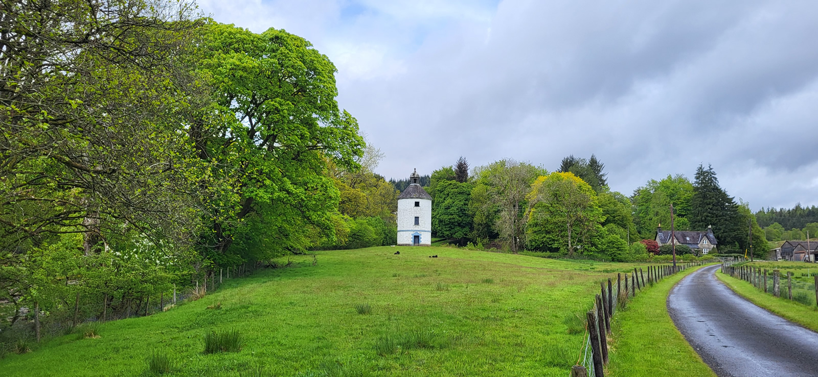
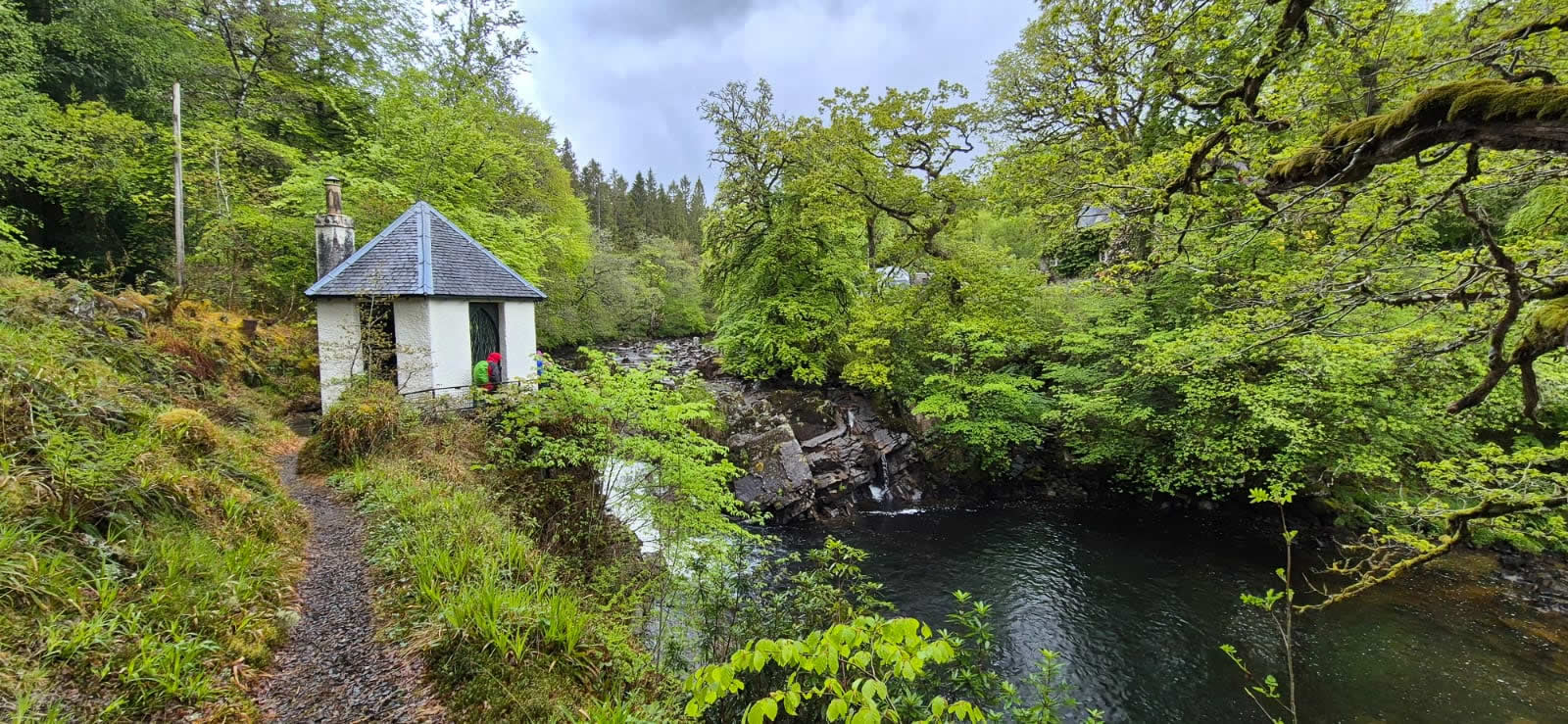
On departing Dun na Cuaiche we made our descent via the main track back down to the lime kiln ruins and across the pastures to join the line of the old military road on the east bank of the River Aray for a very leisurely stroll along the river, passing the man-made salmon leaps, the Doocot (Dovecot) at Carloonan before crossing over the river via the 18th century Carloonan Bridge and returning down river via the west bank and the Fishing Hut located alongside a fine waterfall and pool. An interesting day indeed.
Thanks Trish and everyone for your company. Brilliant day.
Photo Gallery
Click the buttons to select photo size.